What is recorded here
Bereby is a merchant ship lost off County Down in 1941, her wreck still lying where she sank. She joined the many unnamed vessels that fed the Atlantic war, their hulls broken by storm or enemy before anyone wrote their names down. What remains is a shape under the water, waiting for a diver or a storm to remind the coast that the sea keeps what it takes.
The official Northern Ireland wreck record identifies Bereby as Merchant ship. It was lost in 1941. Recorded depth: 0m. Recorded condition: Scrapped where she lay.
Bereby was a merchant ship lost in 1941, likely during World War II. Scrapped where she lay, she had no recorded survivors or significant cargo loss; her wreck remains as an archaeological site in Northern Ireland.
A wreck point does not grant access or permission to dive, enter land, disturb the site or recover anything. Check current law and local conditions first.
Places near here
 Isabella TowerTower · 1469 yd
 Harbour and rope walk: Killough Harbour in KilloughHarbour and rope walk: Killough Harbour · 1675 yd
 CASTLE in KilbrideCASTLE · 1681 yd
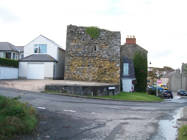 TOWER-HOUSE: MARGARET'S CASTLE in ArdglassTOWER-HOUSE: MARGARET'S CASTLE · 1687 yd
 Water Safety Information - Killough Harbour (Castle)Visitor information · 1706 yd
 Water Safety Information - Killough HarbourVisitor information · 1713 yd
 MODERN CHURCH ON EARLIER SITE in ArdglassMODERN CHURCH ON EARLIER SITE · 1.0 mi
 Curlew PointHeadland · 1.2 mi
 Enclosure/Building in ArdtoleEnclosure/Building · 1.3 mi
 CHURCH (in ruins) & GRAVEYARD: ARDTOLE CHURCH; ST.NICHOLAS' in ArdtoleCHURCH (in ruins) & GRAVEYARD: ARDTOLE CHURCH; ST.NICHOLAS' · 1.7 mi
 Ardtole ChurchWalking route · 1.7 mi
 Sheepland Harbour PathWalking route · 2.7 mi