What is recorded here
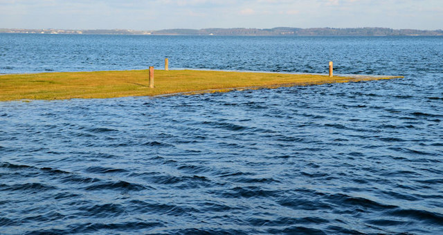
Chanderies is an islet in County Down, Ireland. Perhaps the sea erased every path and chamber while the rock still stands. Maybe the water reclaims what it takes because ownership annoys it. Imagine the islet moving a finger and deleting a whole life without hesitation.
Chanderies is recorded as a islet in County Down. Its open map record supplies this location and any linked names or public references.
Places near here
 MEDIEVAL CHURCH; poss. PRE-NORMAN MONASTIC SITE; EARLY CHRISTIAN HARBOUR and FISH TRAPS in Chapel IslandMEDIEVAL CHURCH; poss. PRE-NORMAN MONASTIC SITE; EARLY CHRISTIAN HARBOUR and FISH TRAPS · 882 yd
 Mid IslandIslet · 1.2 mi
 The Temple of the WindsEstate Related Structures · 1.2 mi
 Red Trail, Mount StewartWalking route · 1.4 mi
 Unfinished carved cross in Reagh IslandUnfinished carved cross · 1.4 mi
 Mount StewartHeritage attraction · 1.4 mi
 Lake Walk, Mount StewartWalking route · 1.6 mi
 'Tir N'an Og' burial groundGraveyard · 1.7 mi
 Cross IslandIslet · 2.0 mi
 Ringneill QuayBay · 2.0 mi
 Grey Abbey HouseCastle · 2.2 mi
 Mahee CastleCastle · 2.6 mi