What is recorded here
Standing Stone State Park is a 855-acre Tennessee refuge beside a man-made lake, created in the 1930s to restore eroded hills and give displaced farmers a place to breathe. The park takes its name from a mysterious rock that once stood along the old Walton Road near Monterey, believed by local tradition to mark Native American memory. Mill Creek still forces a sharp horseshoe bend beneath Cooper and Goodpasture Mountains, while the surrounding forest holds the quiet shape of land recovered from depletion.
Standing Stone is recorded as a archaeological place in County Down. Its open map record supplies this location and any linked names or public references.
Places near here
 Backaderry WoodForest · 649 yd
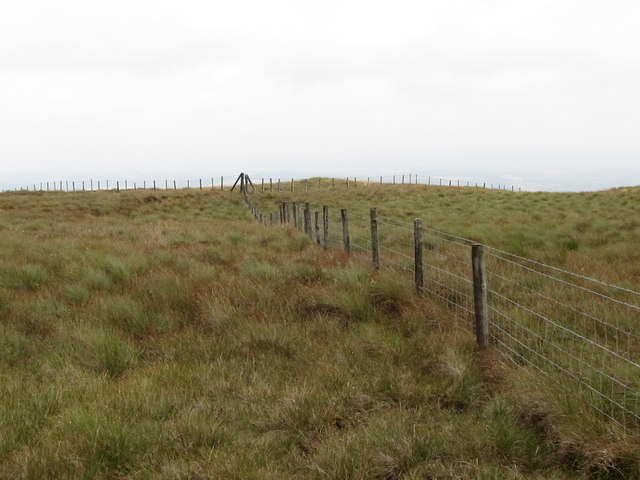 SlieveniskyMountain / peak · 1331 yd
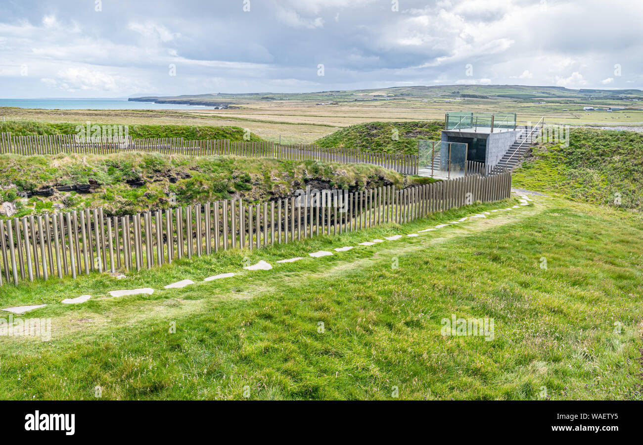 ENCLOSURE in BackaderryENCLOSURE · 1.3 mi
 Legananny Cross StoneMonument · 1.3 mi
 Slieve CroobMountain / peak · 1.4 mi
 Slieve Croob Transmitter Road walkWalking route · 1.7 mi
 SpinkaneeCliff · 2.2 mi
 Pass LoaningWalking route · 2.4 mi
 Clarkhill WoodForest · 2.7 mi
 Tea HouseCastle · 3.5 mi
 The Annesley Walled GardenVisitor information · 3.9 mi
 Moorish TowerCastle · 3.9 mi