What is recorded here
Doonaun holds a living burial ground inside a modern stone wall, though a carpark now consumes the southern edge of the old enclosure. The circle widens the human story because people still place the dead there while wheels roll across what remains of the boundary.
On a gentle rise in farmland. Marked on 1st ed. of OS 6-inch map as a subrectangular enclosure (E-W c. 40m, N-S c. 30m). On 3rd ed. (1932), the words 'Burial Ground' have been appended. What survives is a subcircular area (E-W 60m) bounded by a modern stone wall, the interior of which is still in use as a graveyard. The S part of the original enclosure is now occupied by a carpark.
The above description is derived from the published 'Archaeological Inventory of County Galway Vol. II - North Galway'. Compiled by Olive Alcock, Kathy de hÓra and Paul Gosling (Dublin: Stationery Office, 1999).
Date of upload: 05 August 2010
The monument record does not grant public access. Check the route and ask the landowner before entering private land.
- What survives
- Recorded monument
Places near here
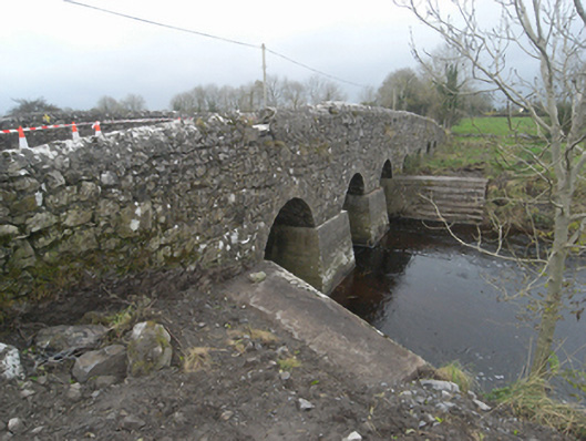 Killaclogher Bridgebridge · 1042 yd
 mill (wind)mill (wind) · 1433 yd
 Enclosure in Lenamore (tiaquin By.)Enclosure · 1.0 mi
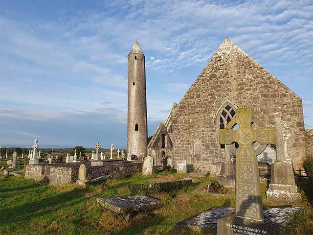 Killaclogher CastleCastle · 1.3 mi
 Clooncurreen CastleCastle · 1.4 mi
 Enclosure in Tiaquin DemesneEnclosure · 1.4 mi
 Menlough IRAMemorial · 3.9 mi
 Knockmoy AbbeyHeritage attraction · 5.3 mi
 European BeechEuropean Beech · 11 mi
 Cloonavihony WoodForest · 11 mi
 BallybaunHouse, indeterminate date · 1456 yd
 Garbally Castle (in ruins)Castle, tower house · 1.4 mi