What is recorded here
Red Island is a small islet in County Donegal where the Faymore River meets the sea. At its northern tip stood a rectangular fort about twenty to thirty metres across, large enough to watch the water and defend the river mouth. The fort appeared on the 1838 Ordnance Survey map but has since vanished, leaving behind only a forgotten shape in Donegal’s defensive past.
Red Island is recorded as a islet in County Donegal. Its open map record supplies this location and any linked names or public references.
Places near here
 Bracken IslandIslet · 265 yd
 Craw IslandIslet · 397 yd
 Sessile OakSessile Oak · 484 yd
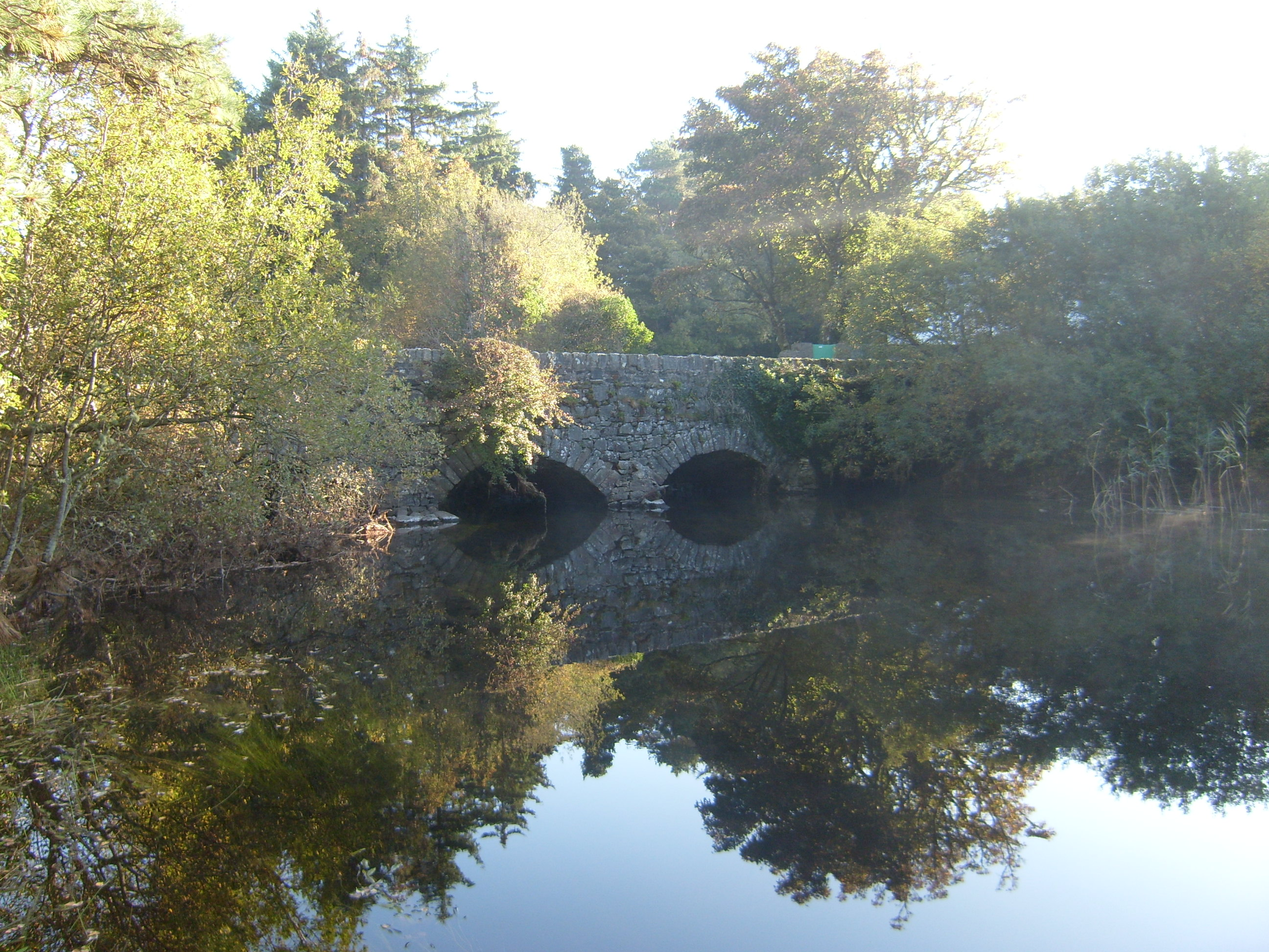 Glenveagh Bridgebridge · 828 yd
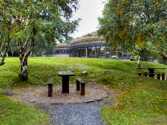 Glenveagh National Park Visitor CentreVisitor information · 872 yd
 English hollyEnglish holly · 1.3 mi
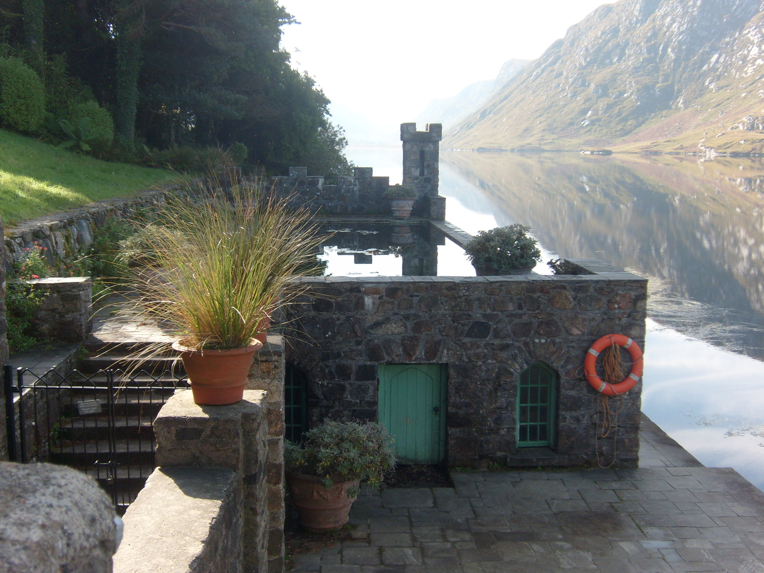 Glenveagh Castleswimming pool · 1.4 mi
 Master Sword in StoneHeritage attraction · 2.5 mi
 Gartan Ráth Cnó Turas 3 CrossCross · 2.9 mi
 Gartan Ráth Cnó Turas 5 CrossCross · 3.0 mi
 The Bridge of TearsMemorial · 3.6 mi
 Astelleen Burn WaterfallWaterfall · 3.6 mi