
What is recorded here
An Tor Mór is a small islet beside Tory Island in County Donegal, where the main land rises into steep rocky heights and the sea keeps the boundary sharp. The name fits the shape because torraig still points to places where rock climbs above water instead of hiding beneath it. A visitor may imagine people judging distance from that marker, reading the horizon by the height of the islet and the colour of the sky above it.
An Tor Mór is recorded as a islet in County Donegal. Its open map record supplies this location and any linked names or public references.
Places near here
 An Port Coastal Promontory FortPromontory fort, coastal · 934 yd
 Port Bay Coastal Promontory FortPromontory fort, coastal · 1179 yd
 Glen Signal Towerwatch tower, signal tower · 2.3 mi
 Glen Head Napoleonic WatchtowerRuins · 2.3 mi
 Glencolmcille Old GraveyardGraveyard · 3.0 mi
 Trá an GhleannaBeach / strand · 3.2 mi
 Glencolmcille Folk VillageMuseum · 3.5 mi
 An Trá Bheag (Trá Bheag an Ghleanna)Beach / strand · 3.5 mi
 Rossan PointHeadland · 4.8 mi
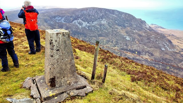 Sliabh TuaidhMountain / peak · 5.2 mi
 CroaghstraleelMountain / peak · 5.6 mi
 Silver Strand ViewpointViewpoint · 6.7 mi
Other information
Photo: Credit not shown in the picture search · Rights wording not checked; contact us if this picture should be removed