
What is recorded here
Inch Fort crouches on the narrow neck between Inch Island and Rathmullan, its triangular concrete jaws still aimed across Lough Swilly. Built in 1813 after French invasion fears and changed again around 1870, it hides vaulted chambers beneath a sunken yard where gun mounts and pulleys once bit into the cliff air. Even derelict, the fort remains sharp: a place where water, stone and fear of landing still meet.
Inch Fort is recorded as a castle in County Donegal. Its open map record supplies this location and any linked names or public references.
Inch Fort in County Donegal was built in the 17th century by the O'Donnell clan, a prominent Gaelic Irish family. It is remembered as a strategic defensive structure reflecting the region's turbulent history during the colonial period.
Places near here
 Lackan ForestForest · 1514 yd
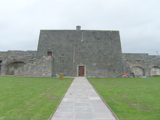 Rathmullan Fortbattery, barracks · 1755 yd
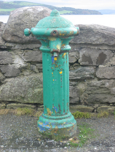 water pumpwater pump · 1.0 mi
 Brown’s PointHeadland · 1.0 mi
 RathmullanOfficial bathing water · 1.0 mi
 Wych ElmWych Elm · 1.1 mi
 Possible Chambered GravePublicly named tomb or grave · 1.2 mi
 Mullanadee ShoreBeach / strand · 1.4 mi
 InchIsland · 1.4 mi
 King's GraveArchaeological place · 1.7 mi
 Rathmullan and Ballyboe Fairy FortFairy fort / earthen ringfort · 1.7 mi
 Mass RockNamed rock · 2.1 mi
Other information
Photo: Daragh McDonough · CC BY-SA 2.0