What is recorded here
Situated on a slight rise in gently undulating pasture. Circular area (diam. 29m) defined by a rubble limestone wall (int. H 1.45m; ext. H 1.5m; T 2.6m). No fosse visible. The wall is made up of un-coursed limestone rubble and encloses the site E-NE. From NE-E the wall has been removed down to the footings. The internal face of the wall has been re-built E-NE to form a drystone field wall (T 0.6m; int. H 1.45m; ext. H over top of cashel wall 0.2m) but the original large basal blocks survive. The original external facing of un-coursed blocks survives E-NE. An E-W orientated field wall links to the external face of the cashel wall at WNW and a NW-SE orientated field wall abut the external side of the wall footings NE-ENE. Original entrance not recognisable. The remains of a Man-made underground passage (SL005-065002-) are located in the centre of the interior.
Compiled by: Patrick F. O'Donovan
Date of upload: 21 April 2011
This remains an important historical record, but the official description says the monument is no longer visible or has been destroyed. The monument record does not grant public access. Check the route and ask the landowner before entering private land.
- What survives
- No visible remains or recorded as destroyed
Places near here
 IndicatedFairy fort / stone ringfort · 537 yd
 Megalithic structure in Ardnaglass UpperMegalithic structure · 611 yd
 Church (in Ruins)Church · 927 yd
 BenwiskinMountain / peak · 1546 yd
 Benwiskin South TopMountain / peak · 1.0 mi
 Dermot & Grania's BedCave · 1.6 mi
 BenbulbenMountain · 1.8 mi
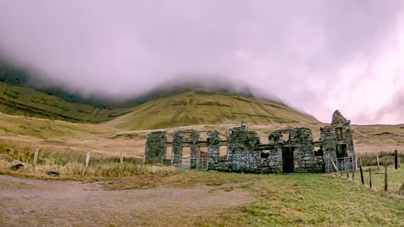 Gleniff School RuinsRuins · 1.8 mi
 Gleniff Horseshoe DriveViewpoint · 1.8 mi
 Gleniff Horseshoe Drive 2Viewpoint · 1.9 mi
 Cormac Reagh's HoleCave · 3.3 mi
 Creevykeel Court TombNeolithic court tomb · 3.4 mi