What is recorded here
Indicated is a lost oval enclosure on a low drumlin in County Mayo, visible only on the 1838 map and gone by 1920. It may have marked a home, a boundary or a forgotten claim, but the land has taken back its shape. What remains is the chance that someone once lived inside a circle now erased.
In pasture, located on a low drumlin-like hillock surrounded by lowlying ground. An oval ringfort-like enclosure (c. 25m E-W; c. 30-35m N-S) is shown on the 1838 OS 6-inch map. By the time of the 1920 edition, the enclosure appears to have been levelled and the S-W arc incorporated into field boundaries. These field boundaries have been removed, and there is no visible trace of the enclosure.
Compiled by: Jane O’Shaughnessy
Date of upload: 25 October 2017
This remains an important historical record, but the official description says the monument is no longer visible or has been destroyed. The monument record does not grant public access. Check the route and ask the landowner before entering private land.
- What survives
- No visible remains or recorded as destroyed
Places near here
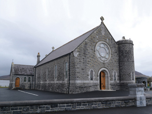 Saint Mary's Catholic Churchchurch/chapel · 580 yd
 Bofeenaun Abbey in ruinsReligious house, Franciscan Third Order Regular · 709 yd
 Bush IslandIslet · 1521 yd
 FarbreigaMountain / peak · 2.7 mi
 NephinMountain / peak · 2.8 mi
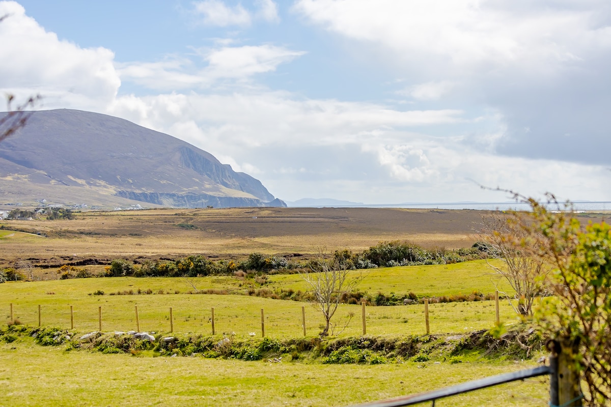 LisnagorpFairy fort / earthen ringfort · 3.0 mi
 Knockfarnaght Stone Circles and CromlechEnclosure · 3.1 mi
 Titanic Memorial ParkMemorial · 3.5 mi
 Ballyduffy CastleCastle, unclassified · 4.2 mi
 CastleCastle, unclassified · 4.5 mi
 IslandmoreIslet · 5.6 mi
 Grave of the KingsArchaeological place · 6.8 mi