What is recorded here
Seven centuries of wind loaded the same stones. Built as a tower in the thirteenth or fourteenth century and remade as a mill in the seventeenth, it is a rare life in two shapes. The round bones still stand in County Derry, not as a failed tower but as a mill that remembered strength.
The official Northern Ireland record identifies this as C17TH WINDMILL C13TH/14TH ROUNDTOWER REMAINS - IHR 02409. Recorded period: C17TH; POST-MED; C13TH; C14TH. Recorded protection: Scheduled. The official map point was placed at the centre of the recorded archaeological site from the source map reference.
The monument record does not grant public access. Check the route and ask the landowner before entering private land.
- What survives
- Recorded monument
Places near here
 C6th MONASTERY, PRE-NORMAN, MEDIEVAL ,POST-MED. & MODERN CHURCH & CATHEDRAL: TEMPLEMORE, DAIRE COLUMCILLE, DAIRE CALGAICH or DUBH REGLES in Derry; LondonderryC6th MONASTERY, PRE-NORMAN, MEDIEVAL ,POST-MED. & MODERN CHURCH & CATHEDRAL: TEMPLEMORE, DAIRE COLUMCILLE, DAIRE CALGAICH or DUBH REGLES · 288 yd
 Derry GaolMonument · 411 yd
 Double BastionViewpoint · 454 yd
 Church BastionViewpoint · 552 yd
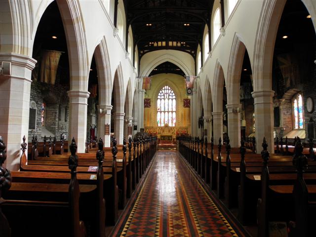 CATHEDRAL in Derry; LondonderryCATHEDRAL · 599 yd
 Seán Ó CianáinMemorial · 606 yd
 St. Columb's CathedralChurch · 607 yd
 Foyle Valley Railway MuseumMuseum · 654 yd
 Siege Heroes MemorialMonument · 657 yd
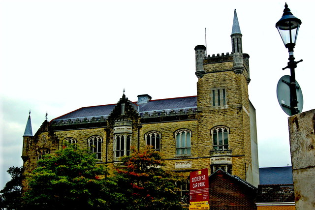 Apprentice Boys of Derry and Siege MuseumMuseum · 680 yd
 Museum of Free DerryMuseum · 780 yd
 Battle of the BogsideMajor battlefield · 833 yd