What is recorded here
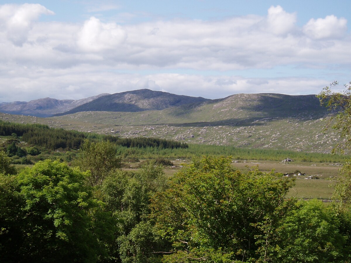
Derreen Upper holds a faded ring where human hands shaped earth into a circle before memory failed. The bank still curves across the slope, but grass has softened its edges and a field wall now cuts through the work. People may have lived there, feared there, or forgotten it entirely. What remains is a shape large enough to enter and quiet enough to disappear.
On a N-facing slope in undulating grassland. Poorly preserved subcircular rath (N-S 41m) defined by a bank and external fosse, best preserved from S to W. A field wall cuts the monument at N and S.
The above description is derived from the published 'Archaeological Inventory of County Galway Vol. II - North Galway'. Compiled by Olive Alcock, Kathy de hÓra and Paul Gosling (Dublin: Stationery Office, 1999).
Date of upload: 05 August 2010
The monument record does not grant public access. Check the route and ask the landowner before entering private land.
- What survives
- Recorded monument
Places near here
 St. Francis MonasteryReligious house, unclassified · 1010 yd
 Kilkerrin National Schoolschool · 1092 yd
 LissardFairy fort / earthen ringfort · 1282 yd
 St. Bridgids WellHoly well · 1.3 mi
 Park CastleCastle · 1.4 mi
 Bawn in Kiltullagh (tiaquin By.)Bawn · 1.4 mi
 SycamoreSycamore · 6.8 mi
 Ballinlass Eviction MemorialMemorial · 6.9 mi
 Wych ElmWych Elm · 7.0 mi
 Mount MaryMountain / peak · 8.2 mi
 Site of Killomaine Grave YardArchaeological place · 8.6 mi
 Knockmoy AbbeyHeritage attraction · 11 mi