What is recorded here
Derreen Lower holds a leaning stone that field clearance dragged one hundred and ten metres from its original valley spot. It still points northeast and southwest across rough pasture, preserving the shape of human interruption rather than ancient intent. The move exposes ordinary life: people cleared land, carried stone, and changed the meaning of the place without warning.
In rough pasture, on a SE-facing slope in a valley at the E side of Hungry Hill. This monument constitutes the site of a possible standing stone. The stone was recorded in this location in 1996 and described as leaning to the NW and orientated NE-SW. In the course of field clearance work, the stone was moved to its present location (CO116-051----), c. 110m to the NW.
The above description is derived from 'The Archaeological Inventory of County Cork. Volume 5' (Dublin: Stationery Office, 2009).
Date of upload: 22 December 2009
The monument record does not grant public access. Check the route and ask the landowner before entering private land.
- What survives
- Recorded monument
Places near here
 Enclosure in Derreen LowerEnclosure · 1272 yd
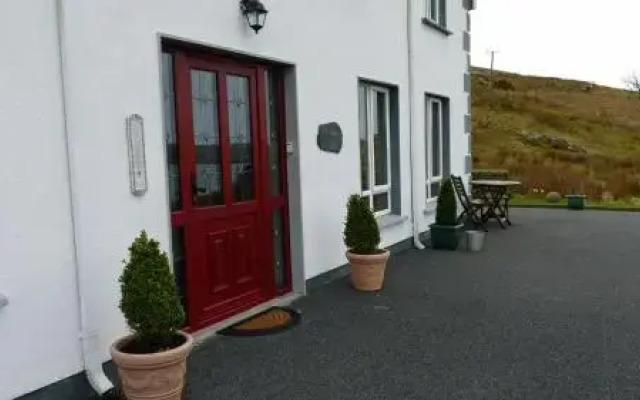 Fulacht fia in Derreen LowerFulacht fia · 1323 yd
 Mare's Tail WaterfallViewpoint · 1338 yd
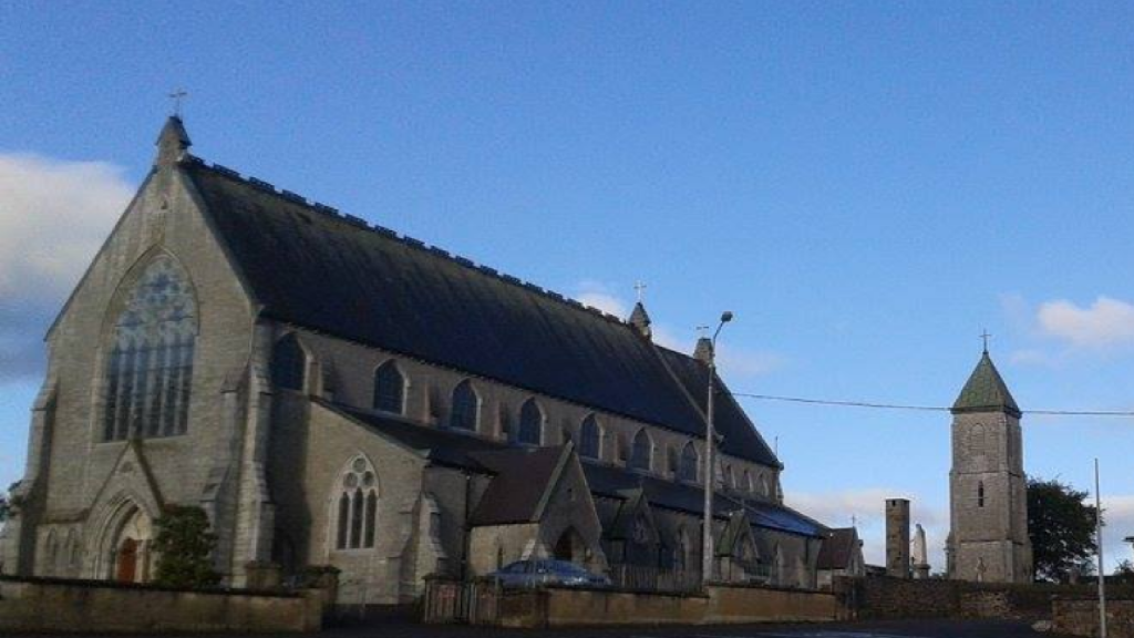 Church in AdrigoleChurch · 1.2 mi
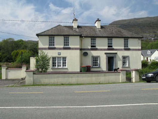 Adrigole Garda Síochána Stationgarda station/constabulary barracks · 1.2 mi
 Loughure IslandIslet · 1.3 mi
 Adrigole MountainMountain / peak · 1.4 mi
 Orthon's IslandIslet · 1.5 mi
 Hungry HillMountain / peak · 1.6 mi
 West Cork Sailing & Powerboating CentreHeritage attraction · 1.7 mi
 Hungry Hill GalleryGallery · 1.9 mi
 Graveyard in DrumlaveGraveyard · 2.0 mi