What is recorded here
Derreen Lower held a thirty-metre circular fort on a hill summit until ploughing erased it. Only a forty-centimetre rise remains in reclaimed grassland, stripping the place of walls but leaving behind the shape of forgotten lives.
On summit of hill in recently reclaimed grassland. Marked on OS 6-inch maps as a circular enclosure (D c. 30m). The monument has been levelled and apart from a slight rise in ground level (H c. 0.4m), no visible surface trace survives.
The above description is derived from the published 'Archaeological Inventory of County Galway Vol. II - North Galway'. Compiled by Olive Alcock, Kathy de hÓra and Paul Gosling (Dublin: Stationery Office, 1999).
Date of upload: 05 August 2010
The monument record does not grant public access. Check the route and ask the landowner before entering private land.
- What survives
- Recorded monument
Places near here
 St. Francis MonasteryReligious house, unclassified · 286 yd
 Kilkerrin National Schoolschool · 401 yd
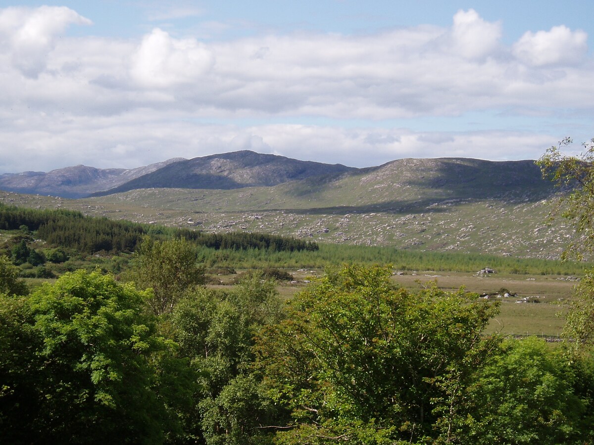 LissardFairy fort / earthen ringfort · 718 yd
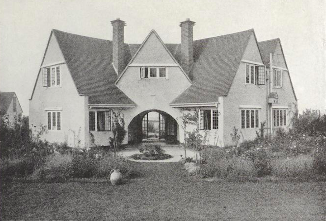 St. Bridgids WellHoly well · 1.1 mi
 Bawn in Kiltullagh (tiaquin By.)Bawn · 1.2 mi
 Park CastleCastle · 1.6 mi
 Ballinlass Eviction MemorialMemorial · 6.6 mi
 SycamoreSycamore · 6.8 mi
 Wych ElmWych Elm · 6.8 mi
 Mount MaryMountain / peak · 7.8 mi
 Site of Killomaine Grave YardArchaeological place · 8.3 mi
 Knockmoy AbbeyHeritage attraction · 11 mi