What is recorded here
Derreen Lower holds a broken circular rath where a silage pit erased the western boundary and an oval mound still marks the southern interior. The loss suggests human hands repeated the old mistake of treating mysterious earth as ordinary soil, perhaps forgetting the fort before measuring it. What remains is a shallow tray of grass and memory, large enough to contain a room but no longer a house.
In level grassland. Poorly preserved circular rath (D c. 32.5m) defined by a bank from NW through N to NE and elsewhere by a scarp. A silage pit has destroyed any trace of the enclosing element at W, Within S half of the interior is an oval mound of earth and stone with a slight central depression (L 4m, Wth 3:2m, H 0.4m).
The above description is derived from the published 'Archaeological Inventory of County Galway Vol. II - North Galway'. Compiled by Olive Alcock, Kathy de hÓra and Paul Gosling (Dublin: Stationery Office, 1999).
Date of upload: 05 August 2010
The monument record does not grant public access. Check the route and ask the landowner before entering private land.
- What survives
- Recorded monument
Places near here
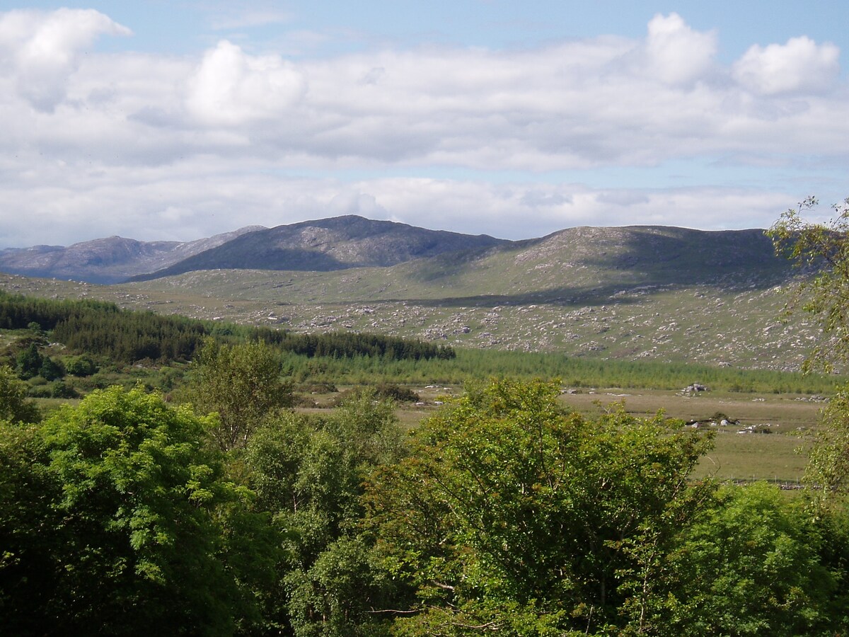 LissardFairy fort / earthen ringfort · 726 yd
 St. Francis MonasteryReligious house, unclassified · 771 yd
 Kilkerrin National Schoolschool · 893 yd
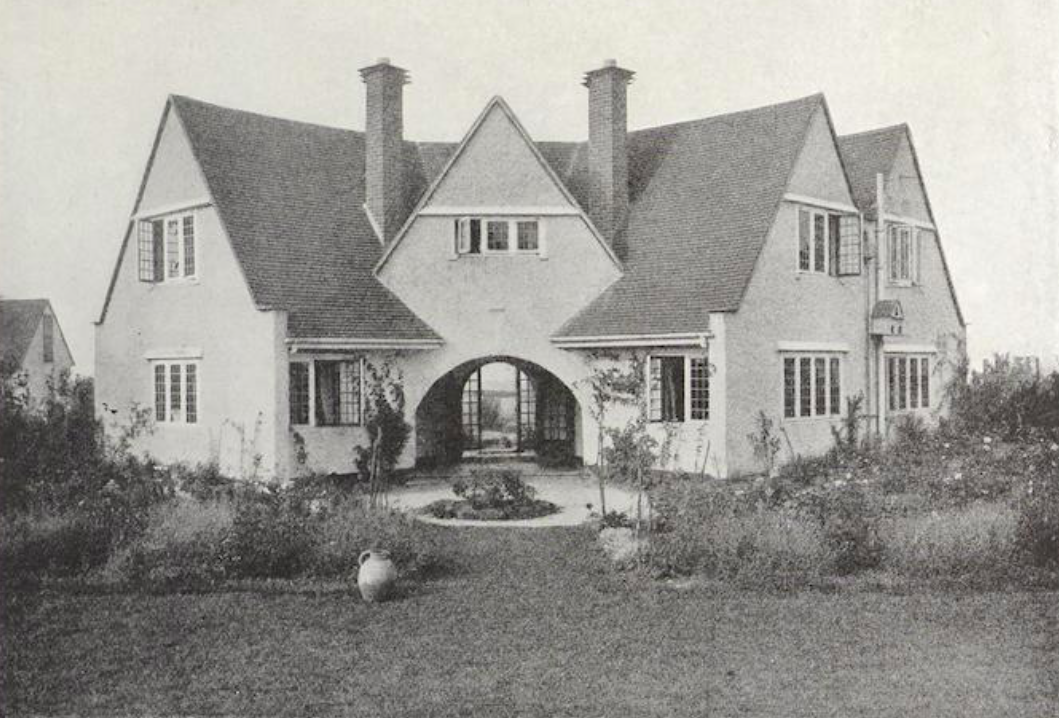 St. Bridgids WellHoly well · 1.0 mi
 Bawn in Kiltullagh (tiaquin By.)Bawn · 1.1 mi
 Park CastleCastle · 1.3 mi
 Ballinlass Eviction MemorialMemorial · 6.9 mi
 SycamoreSycamore · 7.0 mi
 Wych ElmWych Elm · 7.1 mi
 Mount MaryMountain / peak · 8.0 mi
 Site of Killomaine Grave YardArchaeological place · 8.3 mi
 Knockmoy AbbeyHeritage attraction · 11 mi