What is recorded here
In rough stony pasture, on top of an elevation on a S-facing slope surrounded by mountains near the waterfall at the head of Coomgira valley. A circular area (diam. 9.8m) is defined by the intermittent traces of a low earthen bank (Wth 0.6m; H 0.15m) and traces of a scarp along the SW arc. The level interior is in pasture and is slightly uneven. There is a second enclosure (CO116-035001-) c. 55m to the NE. A recent rectangular stone-built animal shelter lies 5m to the S.
The above description is derived from 'The Archaeological Inventory of County Cork. Volume 5' (Dublin: Stationery Office, 2009).
Date of upload: 22 December 2009
The monument record does not grant public access. Check the route and ask the landowner before entering private land.
- What survives
- Recorded monument
Places near here
 Mare's Tail WaterfallViewpoint · 101 yd
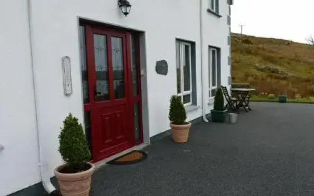 Fulacht fia in Derreen LowerFulacht fia · 173 yd
 Enclosure in Derreen LowerEnclosure · 194 yd
 Hungry HillMountain / peak · 1758 yd
 CoombaneMountain / peak · 1.2 mi
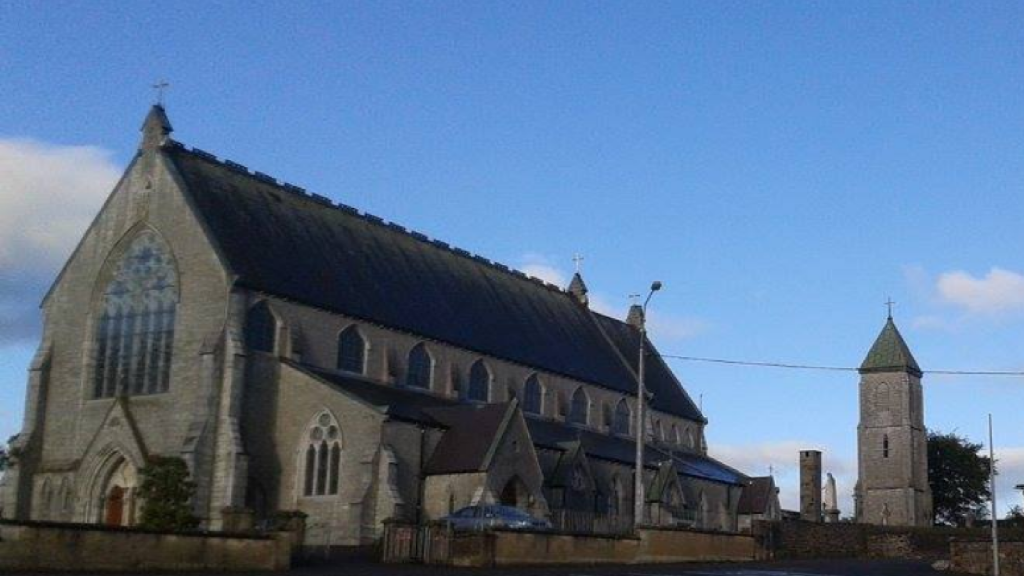 Church in AdrigoleChurch · 1.8 mi
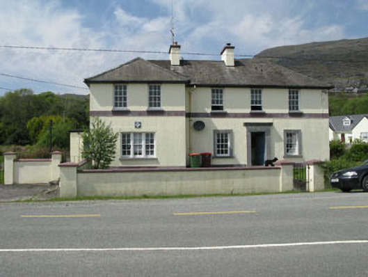 Adrigole Garda Síochána Stationgarda station/constabulary barracks · 1.8 mi
 Loughure IslandIslet · 2.0 mi
 Orthon's IslandIslet · 2.2 mi
 West Cork Sailing & Powerboating CentreHeritage attraction · 2.4 mi
 Hungry Hill GalleryGallery · 2.6 mi
 Graveyard in DrumlaveGraveyard · 2.8 mi