What is recorded here
Indicated is a fairy fort in County Mayo, an earthen ring where human history thins into myth. Its ridge may have marked a boundary, a home or a warning, yet the name itself points instead of explaining. The land still holds that hidden direction, waiting for someone clever enough to read the shape of the gap.
The Archaeological Survey of Ireland (ASI) is in the process of providing information on all monuments on The Historic Environment Viewer (HEV). Currently the information for this record has not been uploaded. To access available information for research purposes please make an appointment in advance with the Archive Unit (open Fridays 10.00 am – 5.00 pm), Department of Housing, Local Government and Heritage, The Custom House, Dublin 1 D01W6XO or email NMarchive@housing.gov.ie.
The monument record does not grant public access. Check the route and ask the landowner before entering private land.
- What survives
- Recorded monument
Places near here
 Pesooge PlantationForest · 349 yd
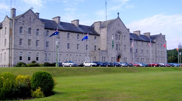 IndicatedEnclosure · 911 yd
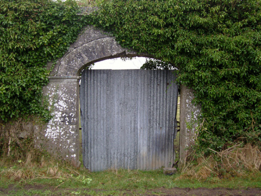 Dalganparkwalled garden · 942 yd
 Loughlee WellHoly well · 1134 yd
 Cregg PlantationForest · 1254 yd
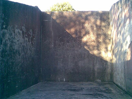 Saint Joseph's National Schoolhandball alley · 1.1 mi
 Shrule Castle in ruinsCastle, hall-house · 1.2 mi
 Shrule CastleCastle · 1.2 mi
 Ross Errilly FriaryHeritage attraction · 4.5 mi
 Mass RockNamed rock · 5.5 mi
 Otter IslandIslet · 7.6 mi
 Inis Mhic an TrírIsland · 7.8 mi