What is recorded here
Kill Burial Ground stands beside the vanished tower, preserving the shape of a landscape that once watched the ridge. The tower may have shown people the sea, the fields and the coming of storms, but no stone remains to prove how tall it stood. What is left is the idea of height, visibility and judgment, waiting for someone to imagine the room where the view began.
Site of tower on crest of ridge with commanding view in all directions; just W of Kill Burial Ground (CO094-04902-). No structural remains.
The above description is derived from the published 'Archaeological Inventory of County Cork. Volume 1: West Cork' (Dublin: Stationery Office, 1992). In certain instances the entries have been revised and updated in the light of recent research.
Date of upload/revision: 14 January 2009
The monument record does not grant public access. Check the route and ask the landowner before entering private land.
- What survives
- Recorded monument
Places near here
 Kill Burial Gd (Disused)Burial ground · 79 yd
 OCrowleys Castle (in Ruins)Castle, tower house · 905 yd
 Man-made underground passage in ShanlaraghMan-made underground passage · 966 yd
 KilnKiln, lime · 1431 yd
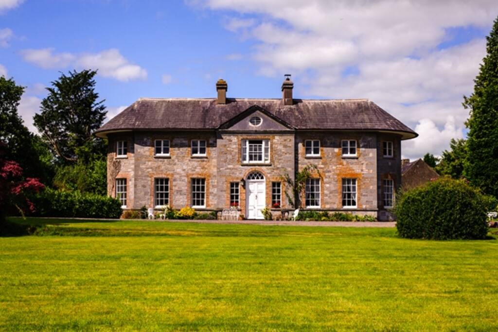 Country house in ArdcahanCountry house · 1.4 mi
 Kilmichael Ambushambush · 2.4 mi
 Kilmichael Ambush SiteMonument · 2.4 mi
 Funmanway Adventure LandHeritage attraction · 3.1 mi
 Castle RockNamed rock · 3.2 mi
 Mount GunneryMountain / peak · 3.3 mi
 Graveyard in Dunmanway NorthGraveyard · 4.0 mi
 Irish National Forestry FoundationNature reserve · 4.2 mi