What is recorded here
Marked only on the 1914 ed. of the OS 6-inch map, and situated on blanket bog on the a raised bog. It is not visible, and was undoubtedly a boundary mound set up by the OS.
Compiled by: Michael Moore
Date of upload: 24 August 2010
The monument record does not grant public access. Check the route and ask the landowner before entering private land.
- What survives
- Recorded monument
Places near here
 IndicatedFairy fort / earthen ringfort · 1520 yd
 Derreenargan WoodWood · 1.1 mi
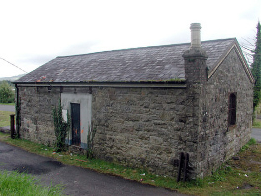 Drumshanbo Railway Stationstore/warehouse · 1.7 mi
 Holy islandIslet · 1.8 mi
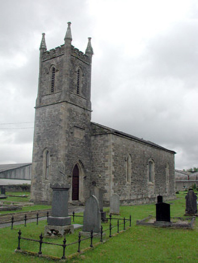 Saint John's Church (Kiltoghert)church/chapel · 1.8 mi
 Spiranthes IslandsIslet · 1.8 mi
 Turlough O'CarolanMemorial · 2.1 mi
 Arigna Mining ExperienceMuseum · 2.5 mi
 Kilronan MountainMountain / peak · 3.0 mi
 Knockranny WoodsForest · 3.2 mi
 Battle of Áth an Chipbattle · 3.6 mi