What is recorded here
This enclosure, not marked on the OS maps, is located on the top of a high ridge E of Knocknabreeda mountain. The circular wall, partially overgrown by peat, averages .25m high and .85m wide and encloses an area 8m x 7.7m. The entrance faces N and is .8m wide. A short stretch of wall extends from the enclosure at S.
The above description is derived from A. O'Sullivan and J. Sheehan (compilers), 'The Iveragh peninsula: an archaeological survey of South Kerry'. Cork University Press (1996), no. 728. In certain instances the entries have been revised and updated in the light of recent research.
Date of upload: 29 July 2013
The monument record does not grant public access. Check the route and ask the landowner before entering private land.
- What survives
- Recorded monument
Places near here
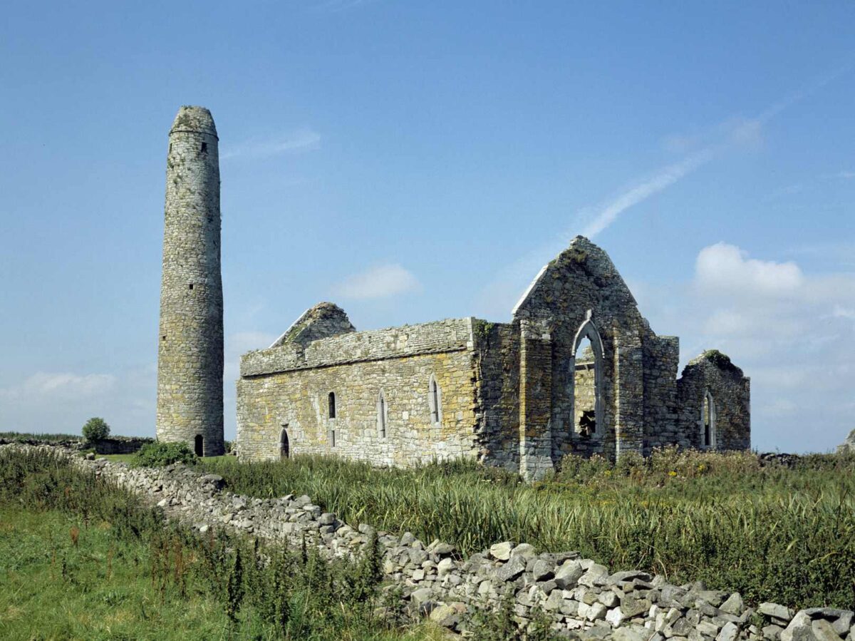 Hut site in EskwacruttiaHut site · 1192 yd
 Enclosure in Derrylahan (dunkerron North By.)Enclosure · 1602 yd
 KnocknasallaghMountain / peak · 1.0 mi
 Eirk Bog Nature ReserveNature reserve · 1.4 mi
 Brassel MountainMountain / peak · 1.5 mi
 Moll's GapViewpoint · 2.0 mi
 Kissane Sheep FarmHeritage attraction · 2.5 mi
 Crash site of USAAF DakotaHeritage attraction · 2.8 mi
 Head of DunloeViewpoint · 2.9 mi
 Lord Brandon's CottageRuins · 3.0 mi
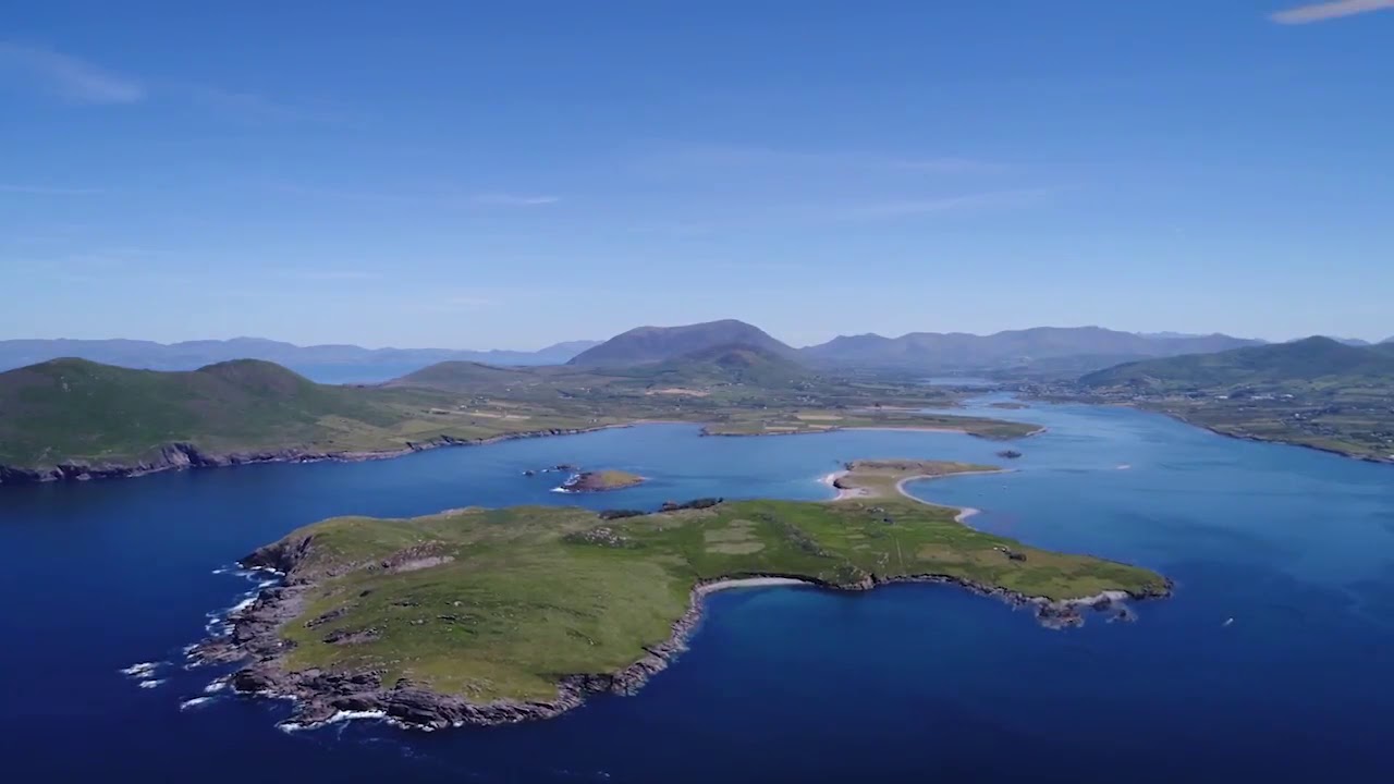 McCarthy's IslandIslet · 3.6 mi
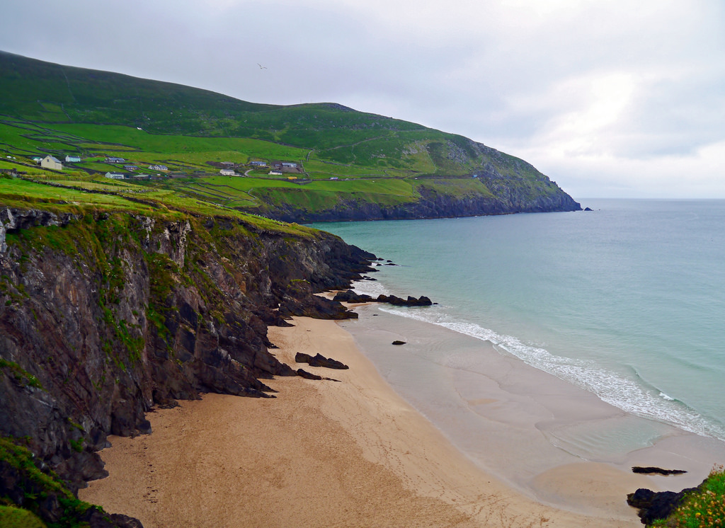 Ronayne's IslandIslet · 3.6 mi