What is recorded here
Situated at the N edge of a slight basin. This is a sandstone slab in two portions (max. dims 0.75m x 0.3m; T 0.1m) and it has a narrow tenon (L 0.15m) at the narrower base. One side is decorated with an incised double-ring over a simple single-line cross with four dots around the crux. The stem is formed by three incised lines connected by four horizontal lines.
The above description is derived from the published 'Archaeological Inventory of County Meath' (Dublin: Stationery Office, 1987). In certain instances the entries have been revised and updated in the light of recent research.
Compiled by: Michael Moore
Date of upload/revision: 15 April, 2015
This cross-slab, likely dating to the early Christian period (5th–9th centuries AD), may have functioned as a memorial or waymarker. The incised double-r motif could represent a religious symbol or part of a cross design, reflecting Christian iconography of the time.
The monument record does not grant public access. Check the route and ask the landowner before entering private land.
- What survives
- Recorded monument
Places near here
 LismoreFairy fort / earthen ringfort · 1094 yd
 Enclosure in RaloaghanEnclosure · 1523 yd
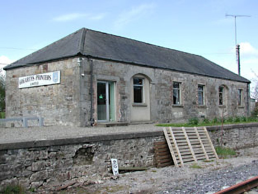 Kilmainham Wood Railway Stationstore/warehouse · 1.5 mi
 Miltown GlenWood · 1.5 mi
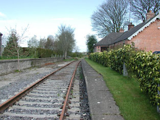 rails (section of)rails (section of) · 1.5 mi
 GNR Christmas TreesForest · 1.8 mi
 Cloghreagh Castle in RuinsCastle, unclassified · 2.3 mi
 Gallows HillMountain / peak · 2.6 mi
 MoatCastle, motte and bailey · 3.1 mi
 BarleyhillMountain / peak · 3.2 mi
 Nobber GreenwayMemorial · 3.3 mi
 In Memory of Our DadMemorial · 3.8 mi