What is recorded here
A standing stone 1.65m high × 1m wide × 0.7m thick; NNW-SSE. A previous account (Kinahan 1885-6, 427) records two crosses inscribed on it. Only one badly weathered cross is now visible, on the W face. Situated in a prominent position, c. 36m W of a cist
(DG054-041) discovered in 1976.
The above description was derived from the 'Archaeological Survey of County Donegal. A description of the field antiquities of the County from the Mesolithic Period to the 17th century.' Compiled by: Brian Lacey with Eamon Cody, Claire Cotter, Judy Cuppage, Noel Dunne, Vincent Hurley, Celie O'Rahilly, Paul Walsh and Seán Ó Nualláin (Lifford: Donegal County Council, 1983). In certain instances the entries have been revised and updated.
Date of upload: 22 September 2008
Likely dating to the early medieval period, the cross-inscribed stone may have had a Christian ritual or commemorative function. Such stones often marked territorial boundaries, served as waymarkers, or were associated with local saints and pilgrimage routes.
The monument record does not grant public access. Check the route and ask the landowner before entering private land.
- What survives
- Recorded monument
Places near here
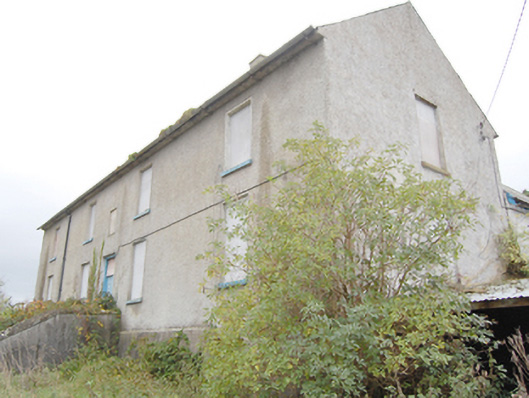 Ray Charter Schoolcharter school · 308 yd
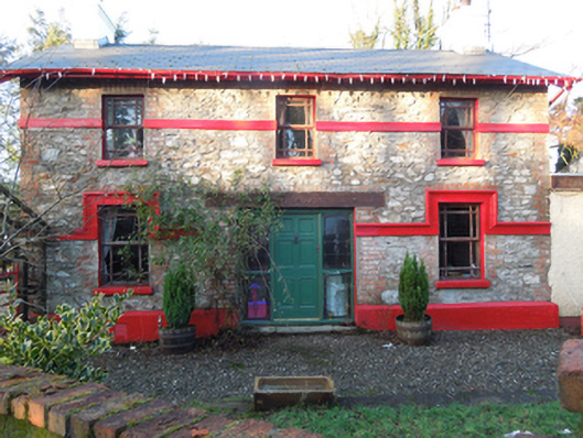 railway stationrailway station · 593 yd
 Giants BedFortification · 920 yd
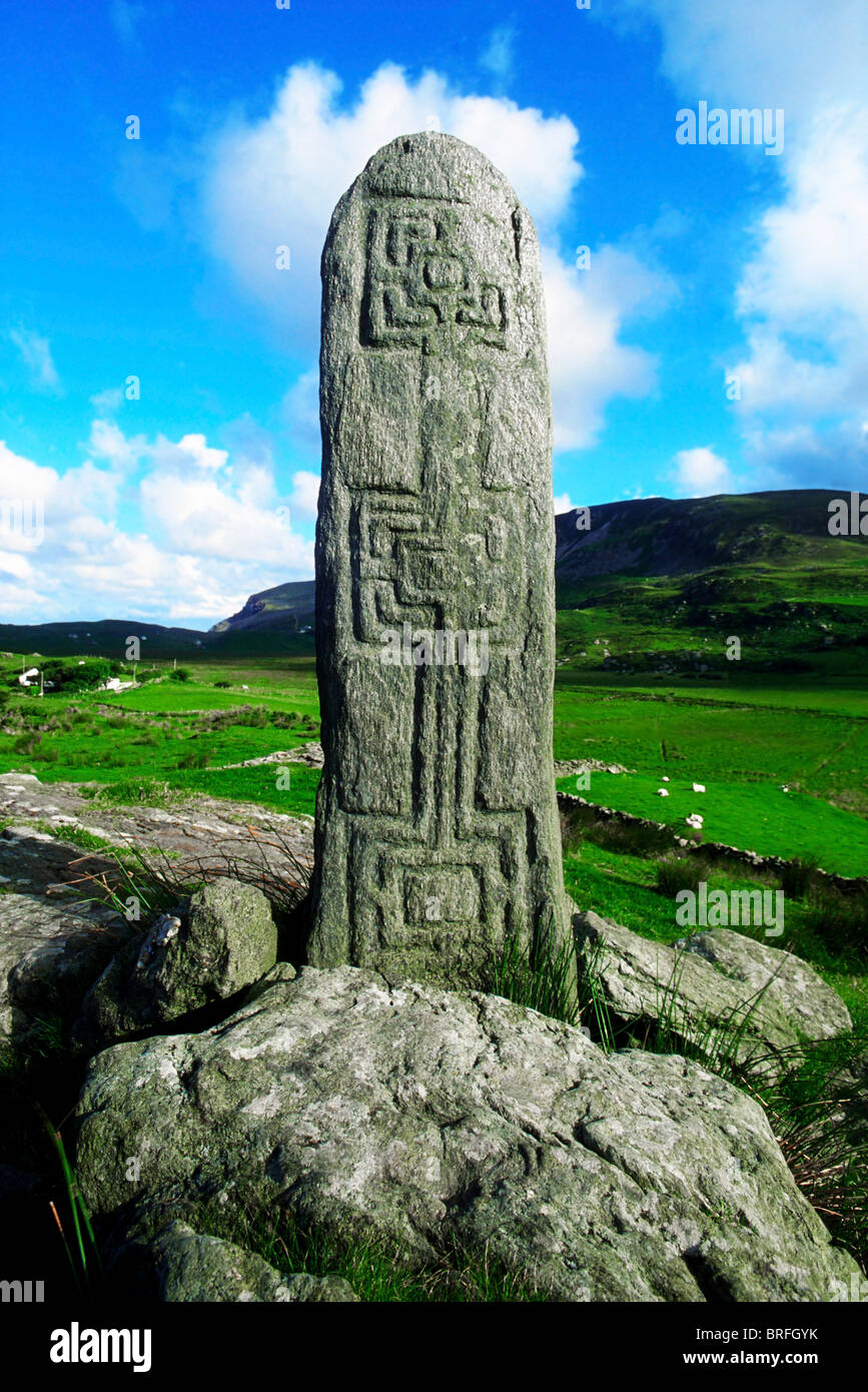 Pluck Standing StoneArchaeological place · 1538 yd
 CastleCastle, unclassified · 1.8 mi
 Mongorry HillMountain / peak · 3.2 mi
 Dry Arch MonumentHeritage attraction · 3.2 mi
 Lurgybrack Open FarmHeritage attraction · 3.5 mi
 European YewEuropean Yew · 3.6 mi
 RowanRowan · 3.6 mi
 PalaceHouse, fortified house · 4.6 mi
 Battle of Scarrifholisbattle · 7.4 mi