What is recorded here
Croreagh holds a standing stone from the prehistoric dawn, when people may have gathered there to mark seasons, claim territory or simply watch the sky turn. The stone remains scheduled and visible, though its exact purpose has faded into uncertainty. It stands because it was set, shaped or chosen before written memory began.
The official Northern Ireland record identifies this as STANDING STONE. Recorded period: PREHISTORIC; UNCERTAIN. Recorded protection: Scheduled. The official map point was placed at the centre of the recorded archaeological site from the source map reference.
Likely dating to the Neolithic or Bronze Age, this standing stone may have functioned as a territorial marker, ceremonial monument, or astronomical alignment feature. No specific folklore or detailed use is recorded for this site.
The monument record does not grant public access. Check the route and ask the landowner before entering private land.
- What survives
- Recorded monument
Places near here
 ENCLOSURE in BenaghENCLOSURE · 1648 yd
 Crown Bridge NewBridge · 1.1 mi
 MOTTE & BAILEY: CROWN MOUND in Sheeptown (newry)MOTTE & BAILEY: CROWN MOUND · 1.3 mi
 Crown BridgeBridge · 1.5 mi
 POST-MEDIEVAL CHURCH & GRAVEYARD: ST. PATRICK'S in NewryPOST-MEDIEVAL CHURCH & GRAVEYARD: ST. PATRICK'S · 2.6 mi
 Basin Walk Car ParkVisitor information · 2.7 mi
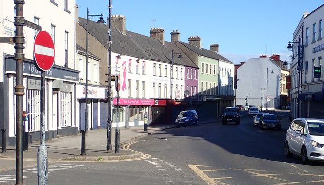 New Street Car ParkVisitor information · 2.7 mi
 Newry CenotaphMemorial · 2.8 mi
 1971 Newry killingsmassacre · 2.9 mi
 Newry and Mourne MuseumMuseum · 3.0 mi
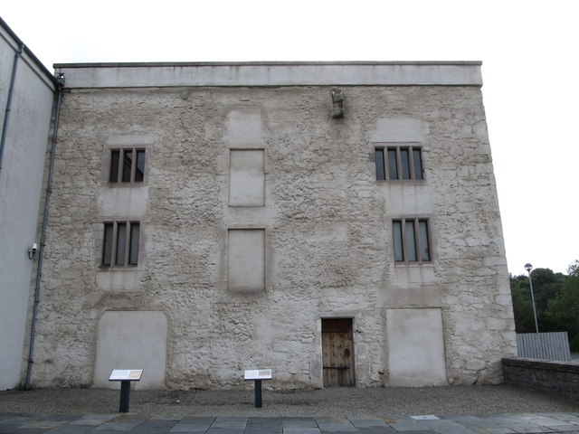 TOWER-HOUSE: BAGENAL'S CASTLE in NewryTOWER-HOUSE: BAGENAL'S CASTLE · 3.0 mi
 Bagenal's CastleCastle · 3.0 mi