What is recorded here
Croreagh in County Down still holds a rath marked in the official record, though the exact age has not been separated from the wider Christian era. The earth may have swallowed walls, doors and living people, yet the shape remains visible enough to protect. A rath is not a vague bump; it is a boundary drawn by human hands, perhaps around a home, a temple or a warning.
The official Northern Ireland record identifies this as RATH. Recorded period: E.CHRIST.. Recorded protection: Scheduled. The official map point was placed at the centre of the recorded archaeological site from the source map reference.
The monument record does not grant public access. Check the route and ask the landowner before entering private land.
- What survives
- Recorded monument
Places near here
 ENCLOSURE in BenaghENCLOSURE · 1097 yd
 Crown Bridge NewBridge · 1.0 mi
 MOTTE & BAILEY: CROWN MOUND in Sheeptown (newry)MOTTE & BAILEY: CROWN MOUND · 1.1 mi
 Crown BridgeBridge · 1.2 mi
 POST-MEDIEVAL CHURCH & GRAVEYARD: ST. PATRICK'S in NewryPOST-MEDIEVAL CHURCH & GRAVEYARD: ST. PATRICK'S · 2.4 mi
 Basin Walk Car ParkVisitor information · 2.5 mi
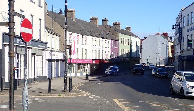 New Street Car ParkVisitor information · 2.5 mi
 Newry CenotaphMemorial · 2.6 mi
 1971 Newry killingsmassacre · 2.7 mi
 Newry and Mourne MuseumMuseum · 2.7 mi
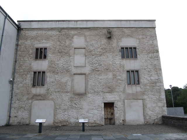 TOWER-HOUSE: BAGENAL'S CASTLE in NewryTOWER-HOUSE: BAGENAL'S CASTLE · 2.7 mi
 Bagenal's CastleCastle · 2.7 mi