What is recorded here
Kill Donagh, recorded in 1839, marks a vanished burial ground in Croneskagh Upper where the earth keeps its dead without visible proof. The name still carries the weight of loss even though no stones or ditches remain for anyone to touch.
The following description is derived from the published 'Archaeological Inventory of County Carlow' (Dublin: Stationery Office, 1993). In certain instances the entries have been revised and updated in the light of recent research.
Date of upload/revision: 17 July 2007
Site recorded in OS Letters (1839, 118-9) as 'Kill Donagh'. No traces of burial ground.
The monument record does not grant public access. Check the route and ask the landowner before entering private land.
- What survives
- Recorded monument
Places near here
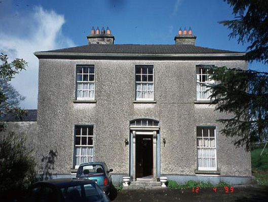 Minvaud Housefarm house · 1119 yd
 Clonmore Castle (in Ruins)Castle, Anglo-Norman masonry castle · 1269 yd
 CrossCross, High cross · 1418 yd
 Saint John's Church (Clonmore)church/chapel · 1435 yd
 Cross in Glebe (rathvilly By.)Cross · 1470 yd
 Clonmore MoatCastle, motte and bailey · 1647 yd
 Eagle HillMountain / peak · 1.3 mi
 Church (in ruins), GraveyardChurch · 2.4 mi
 Acaun Church (in ruins), GraveyardChurch · 3.7 mi
 Sessile OakSessile Oak · 4.1 mi
 Ballycumber HillMountain / peak · 4.6 mi
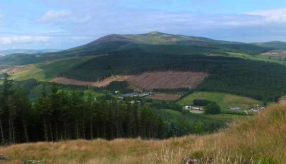 Mangan's WoodForest · 4.8 mi