What is recorded here
Situated on a slight N-facing slope in gently undulating pasture. Raised circular area (diam. c.30m) enclosed by an earth and stone scarp (ext. H 1.2m). There is no fosse visible at ground level. The edge of the monument has a very irregular profile with modern dumps of rocks and earth around the circuit. The remains of a relic N-S orientated field boundary bank obscures the scarped edge at W. From SW-NW the scarped edge is obscured by infill of rock and earth between the boundary and the edge of the rath. The original entrance is not recognisable. A large irregular relic quarry hole (L N-S c.28m; Wth 2.8-6.5m; D 0.4-0.8m) traverses the interior to E of centre and through the scarped edge at NNE and at SSE.
Compiled by: Patrick F. O'Donovan
Date of upload: 21 April 2011
The monument record does not grant public access. Check the route and ask the landowner before entering private land.
- What survives
- Recorded monument
Places near here
 LiscarraghFairy fort / earthen ringfort · 202 yd
 Enclosure in Rosses LowerEnclosure · 398 yd
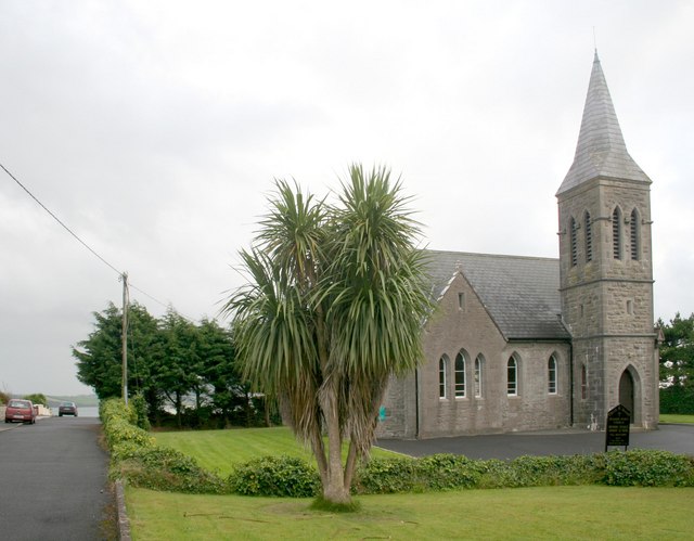 Rosses Point Church (Drumcliff)church/chapel · 1468 yd
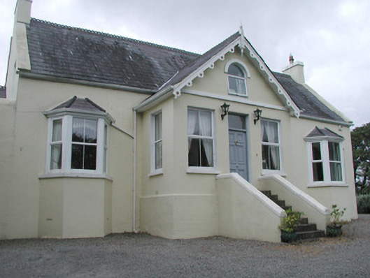 Saint Helen'shouse · 1643 yd
 CastleCastle, unclassified · 1.3 mi
 Waiting on ShoreMemorial · 1.5 mi
 Oyster IslandIslet · 1.6 mi
 Finned PointHeadland · 1.6 mi
 Rosses Point BeachBeach / strand · 1.7 mi
 Grave of WB YeatsHeritage attraction · 1.8 mi
 Drumcliff CemeteryGraveyard · 1.8 mi
 Drumcliff BayBay · 1.9 mi