
What is recorded here
Moat is a fairy fort on a natural hill above the River Nore, holding a flat-topped circular chamber fifty-one metres across. A wide fosse and tall external bank still enclose the space, while a possible eastern causeway hints at the entrance people once used. The shape suggests exclusion as much as protection, as if the land itself drew a line around what it refused to release.
Situated on a natural hill, NW of the River Nore. A circular area (diam. c. 51m) with an almost flat-topped raised interior, surrounded by a fosse (Wth c. 6.3m) and external bank (Wth c. 8m, int. H c. 1.4m). Possible original entrance with causeway at E.
The above description is derived from the published 'Archaeological Inventory of County Laois' (Dublin Stationery Office, 1995) compiled by P. David Sweetman, Olive Alcock and Bernie Moran. In certain instances the entries have been revised and updated in the light of recent research.
Date of upload: 17 December 2007
The monument record does not grant public access. Check the route and ask the landowner before entering private land.
- What survives
- Recorded monument
Places near here
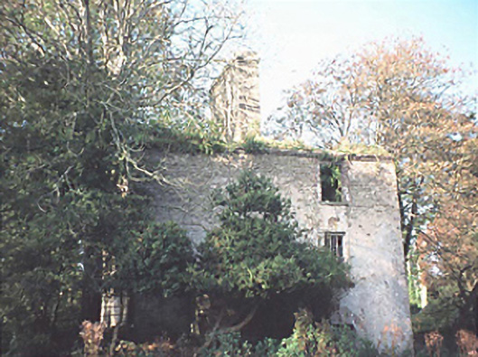 Goss Brookhouse · 567 yd
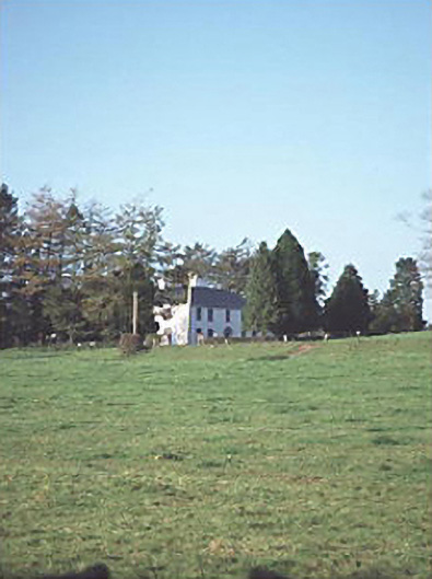 Larch Hill Househouse · 810 yd
 Enclosure in DerrynaseeraEnclosure · 1531 yd
 IndicatedEnclosure · 1.2 mi
 Sweet ChestnutSweet Chestnut · 1.7 mi
 OutlinedCastle, Anglo-Norman masonry castle · 2.0 mi
 Site of CastleCastle, unclassified · 2.1 mi
 SycamoreSycamore · 5.2 mi
 ArderinMountain / peak · 6.0 mi
 FarbreagueMountain / peak · 7.1 mi
 Slieve Bloom MountainsMountain range · 7.9 mi
 Saint Kieran's WellSpring · 8.1 mi
Other information
Photo: Credit not shown in the picture search · Rights wording not checked; contact us if this picture should be removed