What is recorded here
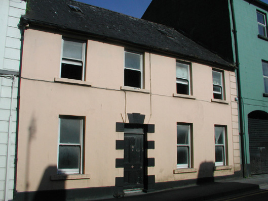
Terraced four-bay two-storey townhouse with dormer attic, extant 1838, originally three-bay two-storey on a symmetrical plan. Extended, pre-1880, producing present composition. Now disused. Pitched slate roof with clay ridge tiles, rooflights to front (east) pitch, and cast-iron rainwater goods on rendered cut-limestone eaves retaining cast-iron octagonal or ogee hopper and downpipe. Rendered walls on rendered chamfered plinth with rusticated rendered pier to end. Square-headed central door opening with dragged cut-limestone step threshold behind cast-iron bootscraper, and drag edged dragged cut-limestone block-and-start surround centred on stop fluted triple keystone framing timber panelled door having overlight. Square-headed window openings with drag edged dragged cut-limestone sills, and concealed dressings framing one-over-one timber sash windows having part exposed sash boxes. Street fronted with concrete footpath to front.
A dilapidated townhouse representing an important component of the domestic built heritage of Ballinrobe with the architectural value of the composition, one rooted firmly in the contemporary Georgian fashion, confirmed by such attributes as the compact plan form centred on a Classically-detailed doorcase demonstrating good quality workmanship; and the slight diminishing in scale of the openings on each floor producing a feint graduated visual effect: meanwhile, a comparison of the first (surveyed 1838; published 1840) and second (surveyed 1894; published 1896) editions of the Ordnance Survey clearly illustrates the continued linear development of the townhouse in the later nineteenth century. A prolonged period of neglect notwithstanding, the elementary form and massing survive intact together with substantial quantities of the historic or original fabric, thus upholding the character or integrity of a townhouse making a pleasing visual statement in Main Street.
This does not grant access. Most recorded buildings are privately owned; view them only from public ground unless the owner allows entry.
Places near here
 Bank of Irelandbank/financial institution · 63 yd
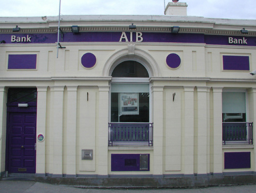 Allied Irish Bankbank/financial institution · 83 yd
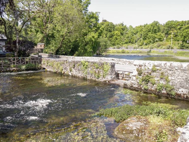 Enclosure in CornaroyaEnclosure · 279 yd
 CastleCastle, unclassified · 443 yd
 IndicatedFairy fort / earthen ringfort · 585 yd
 European ashEuropean ash · 589 yd
 LabbadermotCave · 1.8 mi
 Castle Hag RockIslet · 2.9 mi
 Cloonagashel CastleCastle · 3.0 mi
 SycamoreSycamore · 3.1 mi
 Aghinish RocksIslet · 3.2 mi
 Black RocksNamed rock · 4.5 mi
Other information
Photo: National Inventory of Architectural Heritage · Website use allowed for educational or private purposes with source credit