Add the human story, a picture, a first-hand message or a missing place.
Earn 5 points after the picture is checked and accepted.
Add a pictureAdd its storyTalk or ask a questionAdd a new placeWhat is recorded here
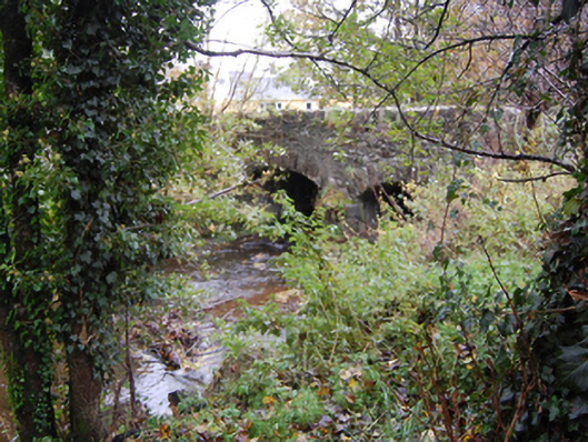
Double-arched bridge carrying road over Corkey River, built c. 1790, having V-profile rubble stone cutwater to the central pier to both the upstream and downstream elevations (north and south). Bridge rises from either end to centre creating slightly hump-backed from. Segmental-headed arches having roughly dressed rubble stone voussoirs; rubble stone construction to the arch barrel. Random rubble stone construction to pier, spandrels, and parapets with rubble stone soldier coping over parapet. Tarmacadam deck with grass verges. House (see 40906234) and former mill (see 40906260) adjacent to the south-west and complex of outbuildings (see 40906236) located adjacent to the south-east. Located in the rural countryside to the south of Manorcunningham.
This official record and map point do not grant access. Most recorded buildings are privately owned; view them only from public ground unless the owner allows entry.
Conversation about this place
Questions and messages sit beneath the source record. They are checked before appearing.
No questions or messages yet.
Ask a question or join the conversation