What is recorded here
RATH in Corgreeghy, County Down, is an ancient earthwork from the E.CHRIST.. period, marking a place where people once lived or gathered. The official record points to the centre of the site, but the land itself may have held more than a boundary or a home. Perhaps it was a meeting place, a watch point, or a quiet centre of local life. The stones and soil no longer speak, yet the name still carries the shape of what stood there.
The official Northern Ireland record identifies this as RATH. Recorded period: E.CHRIST.. The official map point was placed at the centre of the recorded archaeological site from the source map reference.
The monument record does not grant public access. Check the route and ask the landowner before entering private land.
- What survives
- Recorded monument
Places near here
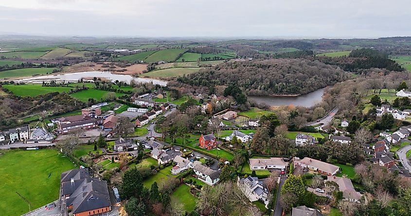 ENCLOSURE? in CarnacallyENCLOSURE? · 1.2 mi
_-_geograph.org.uk_-_1421059.jpg?width=1280) Steenson's BridgeBridge · 1.6 mi
Steenson's BridgeBridge · 1.6 mi Crown Bridge NewBridge · 1.6 mi
 MOTTE & BAILEY: CROWN MOUND in Sheeptown (newry)MOTTE & BAILEY: CROWN MOUND · 2.2 mi
 New Street Car ParkVisitor information · 2.8 mi
 Basin Walk Car ParkVisitor information · 2.9 mi
 POST-MEDIEVAL CHURCH & GRAVEYARD: ST. PATRICK'S in NewryPOST-MEDIEVAL CHURCH & GRAVEYARD: ST. PATRICK'S · 2.9 mi
 Newry CenotaphMemorial · 2.9 mi
 1971 Newry killingsmassacre · 3.0 mi
 Canal WoodWood · 3.1 mi
 Newry and Mourne MuseumMuseum · 3.2 mi
 Bagenal's CastleCastle · 3.2 mi