What is recorded here
One tall stone still stands in Corgary, County Down, though no human hand is recorded setting it. It may have watched fields before fields had owners, or it may have been a boundary marker for people whose names dissolved into soil. The uncertainty does not weaken the place; it sharpens the image of a stone keeping a claim no longer spoken aloud.
The official Northern Ireland record identifies this as STANDING STONE. Recorded period: UNCERTAIN; PREHISTORIC. The official map point was placed at the centre of the recorded archaeological site from the source map reference.
Likely dating to the Neolithic or Bronze Age, this standing stone may have served a ceremonial, astronomical, or territorial function. No specific folklore or detailed use is recorded for this site.
The monument record does not grant public access. Check the route and ask the landowner before entering private land.
- What survives
- Recorded monument
Places near here
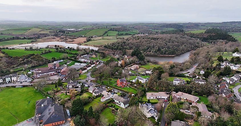 ENCLOSURE? in CarnacallyENCLOSURE? · 1.2 mi
_-_geograph.org.uk_-_1421059.jpg?width=1280) Steenson's BridgeBridge · 1.6 mi
Steenson's BridgeBridge · 1.6 mi Former National SchoolHall · 1.8 mi
 ENCLOSURE in AughintoberENCLOSURE · 1.9 mi
 Canal WoodWood · 2.6 mi
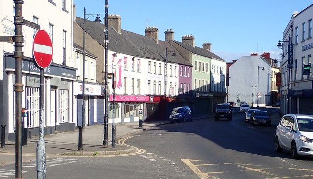 New Street Car ParkVisitor information · 3.4 mi
 Basin Walk Car ParkVisitor information · 3.4 mi
 POST-MEDIEVAL CHURCH & GRAVEYARD: ST. PATRICK'S in NewryPOST-MEDIEVAL CHURCH & GRAVEYARD: ST. PATRICK'S · 3.5 mi
 Newry CenotaphMemorial · 3.5 mi
 1971 Newry killingsmassacre · 3.6 mi
 Newry and Mourne MuseumMuseum · 3.8 mi
 Bagenal's CastleCastle · 3.8 mi