What is recorded here
Corernagh holds a abandoned rath, a circular earthwork where people lived before written records. Its boundary still traces the shape of human choice, even though no house or name remains visible. The land remembers the decision to build, defend and occupy one small place on the edge of County Armagh.
The official Northern Ireland record identifies this as RATH. Recorded period: E.CHRIST.. The official map point was placed at the centre of the recorded archaeological site from the source map reference.
The monument record does not grant public access. Check the route and ask the landowner before entering private land.
- What survives
- Recorded monument
Places near here
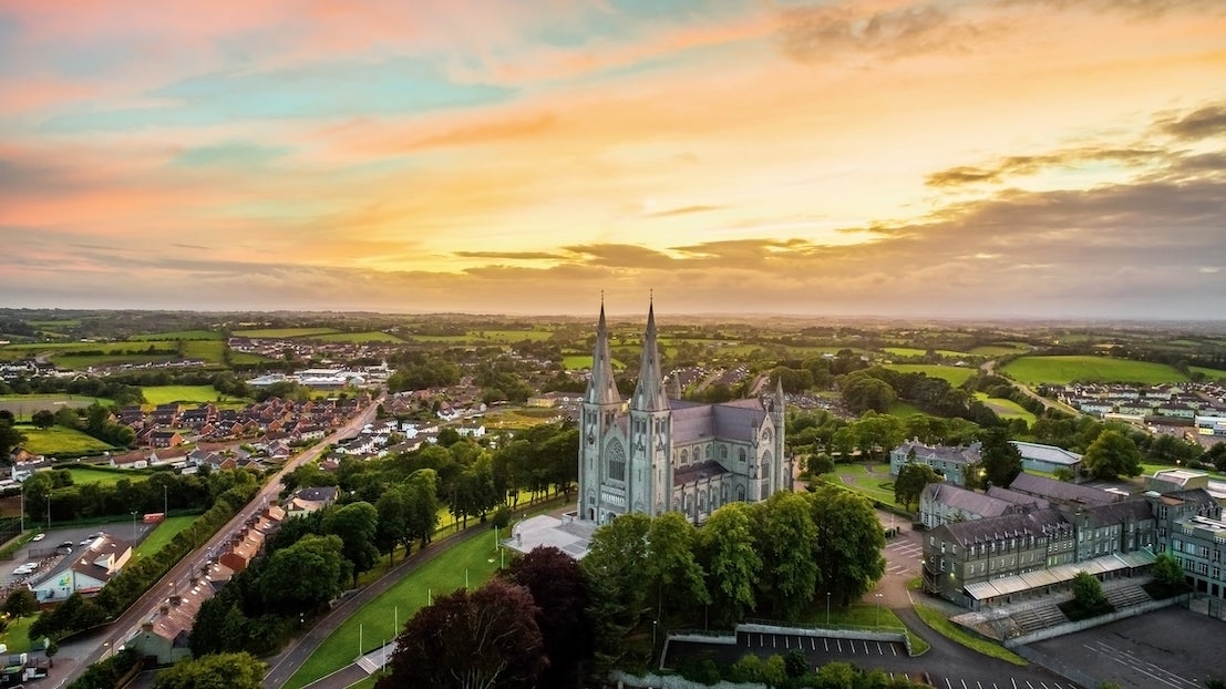 ENCLOSURE (unlocated) in CorernaghENCLOSURE (unlocated) · 746 yd
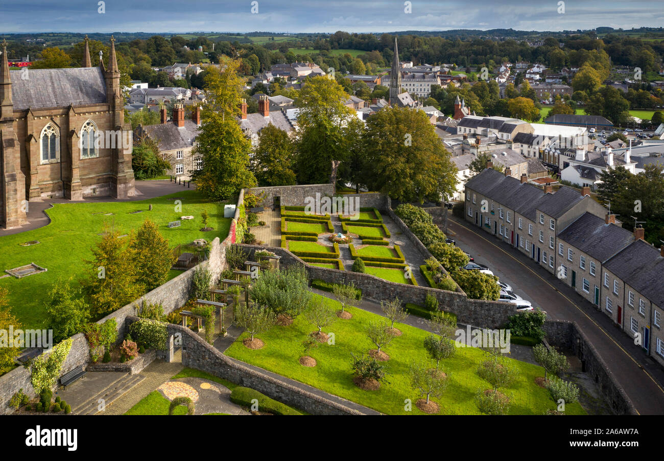 ENCLOSURE in Ballysheil MoreENCLOSURE · 1160 yd
 Newry Canal WayWalking route · 1634 yd
 Clare BridgeBridge · 1.8 mi
_-_geograph.org.uk_-_2952416.jpg?width=1280) Former Poyntzpass Primary SchoolHistoric building · 1.9 mi
Former Poyntzpass Primary SchoolHistoric building · 1.9 mi CASTLE in LoughadianCASTLE · 2.0 mi
 Clare GlenWood · 2.2 mi
 Glen View TrailWalking route · 2.2 mi
 CASTLE in ScarvaCASTLE · 2.3 mi
 Scarva MemorialMemorial · 2.3 mi
 Canal WoodWood · 4.2 mi
 Gosford Forest ParkForest · 4.3 mi