What is recorded here
RATH in Coragh, County Fermanagh, is an ancient earthwork, not a vague myth. It belongs to the christs and human memory, while the official record keeps its name and kind intact. The land may have held rituals, fights, trade or quiet neighbourhood, but no invented date or person should be added. What is known is that a rath still stands in Coragh, named and recorded.
The official Northern Ireland record identifies this as RATH. Recorded period: E.CHRIST.. The official map point was placed at the centre of the recorded archaeological site from the source map reference.
The monument record does not grant public access. Check the route and ask the landowner before entering private land.
- What survives
- Recorded monument
Places near here
 RathArchaeological place · 9 yd
 St. Ninnidh's Rc ChurchChurch · 772 yd
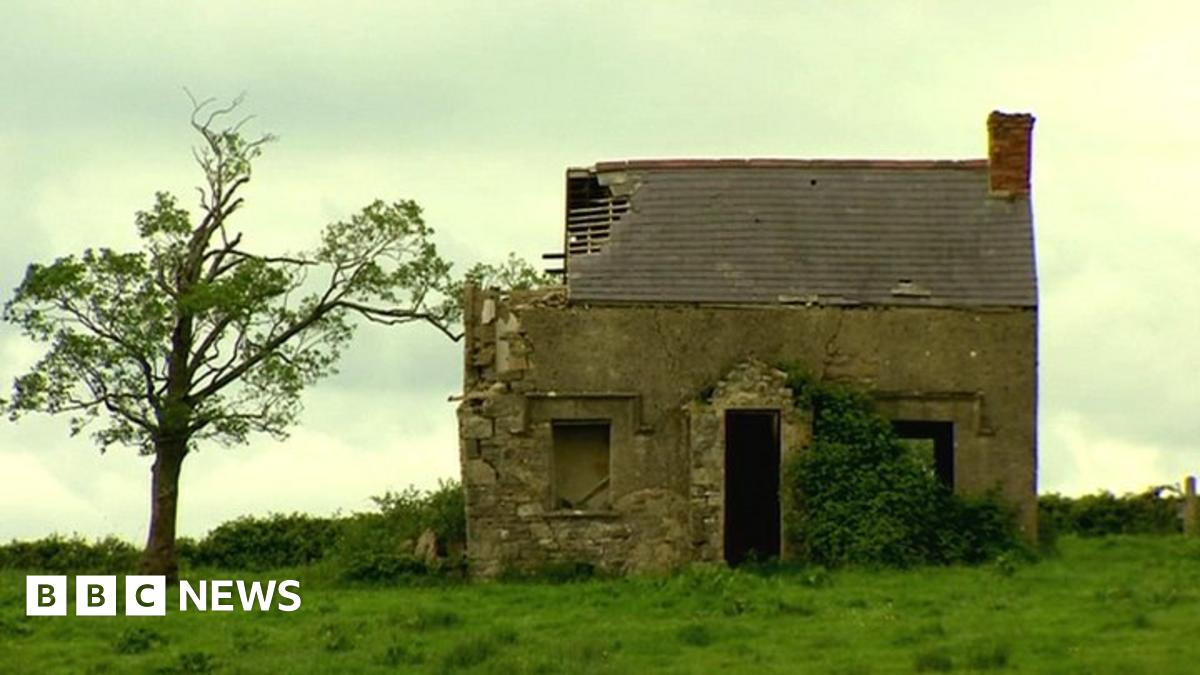 ENCLOSUREENCLOSURE, RATH? · 958 yd
 Giant's GraveArchaeological place · 1491 yd
 InishlirrooIsland · 1.9 mi
 InishcrevanIsland · 2.0 mi
 Molly MountainMountain / peak · 2.3 mi
 Lady Craigavon BridgeBridge · 2.9 mi
 MEDIEVAL PARISH CHURCH; GRAVEYARD; HOLY WELL: KINAWLEY CHURCH or CELL NAILE or ST. NAILE'S WELL in LismonaghanMEDIEVAL PARISH CHURCH; GRAVEYARD; HOLY WELL: KINAWLEY CHURCH or CELL NAILE or ST. NAILE'S WELL · 3.6 mi
 Gole WoodWood · 3.9 mi
 Reilly WoodWood · 3.9 mi
 CaldraghMountain / peak · 4.0 mi