What is recorded here
Nine metres of vanished stone still measure the valley above the Caha river, though only two upright markers remain in the pasture. They stand four metres apart on a NE-facing slope, perhaps the last survivors of an eleven-stone circle that once gathered people for rituals, meetings or simply the pleasure of marking a place. The missing stones may have been taken for walls, roads or fields, yet the gap between the survivors preserves the shape of what was lost.
In pasture on NE-facing slope in valley of headwaters of Caha river. Appears to have consisted of possibly eleven stones; diameter c. 9m. Two stones survive, 4m apart. N stone is 0.8m by 0.3m and 1.1m H; second stone is 1m x 0.4m and 1m H. (O Nualláin 1984, 17, no. 17)
The above description is derived from the published 'Archaeological Inventory of County Cork. Volume 1: West Cork' (Dublin: Stationery Office, 1992). In certain instances the entries have been revised and updated in the light of recent research.
Date of upload/revision: 14 January 2009
The monument record does not grant public access. Check the route and ask the landowner before entering private land.
- What survives
- Recorded monument
Places near here
 Man-made underground passage in Clogher (carbery East (w.d.) By.)Man-made underground passage · 913 yd
 Coolmountain Schoolschool · 924 yd
 Gortnahoughtee Mass RockNamed rock · 1213 yd
 Kill BurGd (Childrens) (Disused)Burial ground · 1740 yd
 Mount ProspectMountain / peak · 1.2 mi
 CarriganineMountain / peak · 1.8 mi
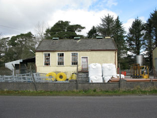 Togher Creamerycreamery · 2.0 mi
 Togher CastleCastle, tower house · 2.3 mi
 Funmanway Adventure LandHeritage attraction · 4.0 mi
 Carrignacurra CastleCastle · 4.6 mi
 Kilmichael Ambushambush · 5.1 mi
 Kilmichael Ambush SiteMonument · 5.1 mi