
What is recorded here
Grave Yd in Kilmurry has buried people since at least 1744, its stones crowded beneath houses that turn their backs on the dead. The ruined parish church still stands at the corner, and local story claims hidden passages stretch across the road, though no one living seems certain where they begin or end.
In Kilmurry village, on NE side of crossroads. Subrectangular graveyard (c. 50m N-S; c. 70m E-W) enclosed by stone wall along road to S and SW, by earthen bank to N and E; along W side houses, facing road, back onto graveyard. Near SW corner, ruin of Kilmurry parish church (CO083-055002-). Still inuse; many late 18th-, 19th- and 20th-century headstones; earliest noted dated 1744. Some low uninscribed gravemarkers, also some chest tombs. According to local information, Man-made underground passages found across road from graveyard, c. 40m to S (CO083-055004-) and c. 50m to WSW (CO083-055001-) of church ruin.
The above description is derived from the published 'Archaeological Inventory of County Cork. Volume 3: Mid Cork' (Dublin: Stationery Office, 1997). In certain instances the entries have been revised and updated in the light of recent research.
Date of upload/revision: 14 January 2009
The monument record does not grant public access. Check the route and ask the landowner before entering private land.
- What survives
- Recorded monument
Places near here
 P. O'Reganhouse · 53 yd
 Man-made underground passage in CoolduffMan-made underground passage · 86 yd
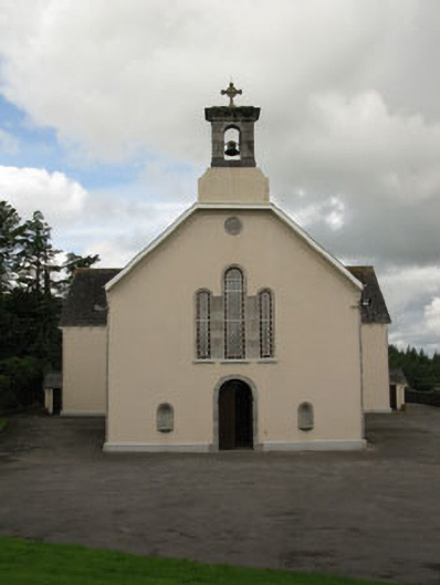 St Mary's Roman Catholic Churchchurch/chapel · 143 yd
 Independence MuseumMuseum · 144 yd
 Burnt spread in CoolduffBurnt spread · 219 yd
 Kilmurry WoodsPicnic place · 671 yd
 Priest MemorialMemorial · 915 yd
 Andrew's WoodWood · 1664 yd
 Stephen's WoodForest · 1.3 mi
 Clodah CastleCastle · 1.8 mi
 Michael Collins MemorialMemorial · 2.2 mi
 Castle (Site of)Castle, unclassified · 2.4 mi
Other information
Photo: Credit not shown in the picture search · Rights wording not checked; contact us if this picture should be removed