What is recorded here
Conwal graveyard holds a rectangular stone cairn built beside church ruins, where upright slabs display cruciform designs and swastika patterns. One vanished slab carried interlacing bands, corner crosses, square spirals and two trumpet forms, but it disappeared before the Donegal survey. The stones still lie near the holy well, keeping the shape of a place that people cleared, arranged and then forgot.
Within the Conwal graveyard (DG053-029008-) is a holy well (DG053-029002-) (Ó Muirgheasa No. 78) and the ruins of a church (DG053-029001-). Colhoun (1970, 241) recorded that the site was tidied up about 1968 and a grassy rectangular mound (DG053-029007-) at right angles to the S wall of the church was made into a rectangular cairn of stones, the flat top of which was paved with grave-slabs. In addition, there are a number of upright slabs of which six have cruciform designs, one a human figure and three are uninscribed. Three recumbent cross-slabs are set in the cairn and five other lie on top of it. There are twelve other graveslabs on the cairn, one late 19th century, the others plain and uninscribed some of them trapezoidal in plan.
Cross-slab no. 18 (Lacey et al. 1983).
Cohoun (1970, 241-2) described this carved stone as 2ft 4" (0.7m) high × 1ft 2" (0.35m) wide and seems to have been similar to (13) above. A swastika type design made of two bands of interlacing. In each of the corner squares, there was a small cross. Below the swastika were three square spirals and underneath this a spiral opening out into two trumpet forms (Champneys 1970, PI. XXX). There was no visible trace of the slab when the graveyard was recorded in the course of the archaeological survey of Co. Donegal (1980-1) and its present whereabouts are unknown. To facilitate identification it has been given the same grid coordinates as those of the graveyard.
The attached image (DG053-029022-_01.jpg) was taken by Prof. Etienne Rynne in the 1960s. The colours in the original transparency have faded over time but it was considered appropriate to scan it before further deterioration took place.
Compiled by: Paul Walsh
Date of upload: 13 May 2014
Probably dating to the early medieval period, the cross-slab may have served as a Christian memorial or liturgical marker, associated with the nearby holy well and church ruins. Such stones often carried religious or commemorative significance and may have been linked to local saints or pilgrimage traditions.
This remains an important historical record, but the official description says the monument is no longer visible or has been destroyed. The monument record does not grant public access. Check the route and ask the landowner before entering private land.
- What survives
- No visible remains or recorded as destroyed
Places near here
 Conwal WellHoly well · 46 yd
 Conwal Wheeled Cross SlabCross-slab · 82 yd
 Conwal Old ChurchChurch · 84 yd
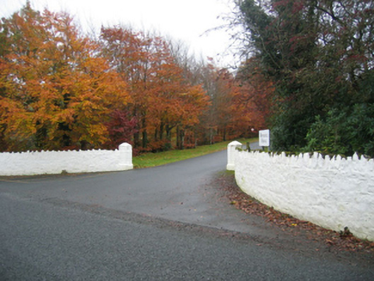 Rockhill Housegates/railings/walls · 891 yd
 Battle of Scarrifholisbattle · 1721 yd
 Site of Castle SollusCastle, unclassified · 1752 yd
 Newmills Corn and Flax MillsHeritage attraction · 1.4 mi
 Bawn in LetterkennyBawn · 1.7 mi
 Gregory HillMountain / peak · 1.9 mi
 Donegal County MuseumMuseum · 2.0 mi
 Stackarnagh Abbey GraveyardGraveyard · 3.6 mi
 European YewEuropean Yew · 6.1 mi