What is recorded here
Mammy and I hauled butter churns across that heather until our knees bled. We built the first circular hut with flat stones stolen from the riverbed. The second rose a mile east after we lost the churn in the water. The third stands beside a cairn because we stopped measuring distance and listened to the mountain instead. Rain still fills the stone gaps like milk in a churn.
Situated 110m SE of a substantial cairn (CV006-001----) in rough terrain close to the summit of Cuilcagh Mountain. Roughly circular area (int. diam. 4.5m) enclosed by the remains of a crude drystone wall. At NW, SW and SE its foundation stones can be seen protruding from the heather. Two similar hut sites are close by (CV006-003001-, CV006-003002-).
The above description is derived from the published 'Archaeological Inventory of County Cavan' (Dublin: Stationery Office, 1995). In certain instances the entries have been revised and updated in the light of recent research.
Date of upload/revision: 22 December 2008
The monument record does not grant public access. Check the route and ask the landowner before entering private land.
- What survives
- Recorded monument
Places near here
 CuilcaghMountain / peak · 3 yd
 Cuilcagh Anierin Uplands Special Area of ConservationNature reserve · 565 yd
 Cuilcagh WayWalking route · 1226 yd
 AlteenaghMountain / peak · 1425 yd
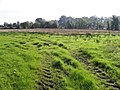 AghatirourkeMountain / peak · 1704 yd
 Crofton's HillForest · 2.4 mi
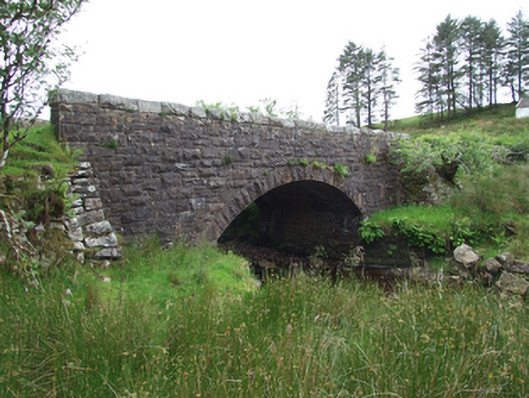 Commas Bridgebridge · 2.5 mi
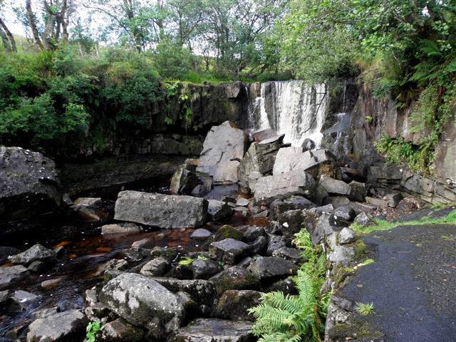 Tullydermot FallsWaterfall · 2.6 mi
 Pigeon PotCave · 2.6 mi
 Foxes CaveCave · 2.6 mi
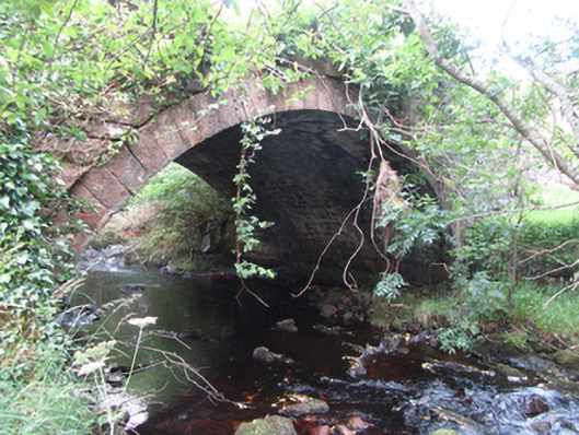 Carty’s Bridgebridge · 2.7 mi
 ENCLOSURE in GreenanENCLOSURE · 3.0 mi