What is recorded here
Eight metres of buried rope and ribbon still hold the neck of Doulus Bay, though a century of ploughing has shaved them to a whisper. The fort may have stood where the sea now enters through forgotten doors, its people measuring storms in the width of that vanished chamber. What remains is a flat breath of earth, large enough to contain a life and thin enough to disappear under bootheels.
Possible promontory fort described in 2003 as follows; ‘A flat level broad headland facing southwest into Doulus Bay shows evidence of a levelled bank and filled in fosse crossing the broad neck of the promontory. The enclosing elements are 8m wide and barely 10cms high, difficult to see at ground level. Close to the southern cliff edge and immediately outside the site is a low earthen platform, possibly associated. The interior shows signs of previous cultivation and a dried stream ran through the centre. The flanking cliffs are low and the sea is accessible from within. Old field boundaries can be seen in neighbouring fields. A small subsidiary headland had two earthen banks cutting it off from the remainder but these are the relics of land commission boundaries that ran along the coast’ (Casey 2003, 21, no. C).
The monument record does not grant public access. Check the route and ask the landowner before entering private land.
- What survives
- Recorded monument
Places near here
 Cromwell's FortRuins · 206 yd
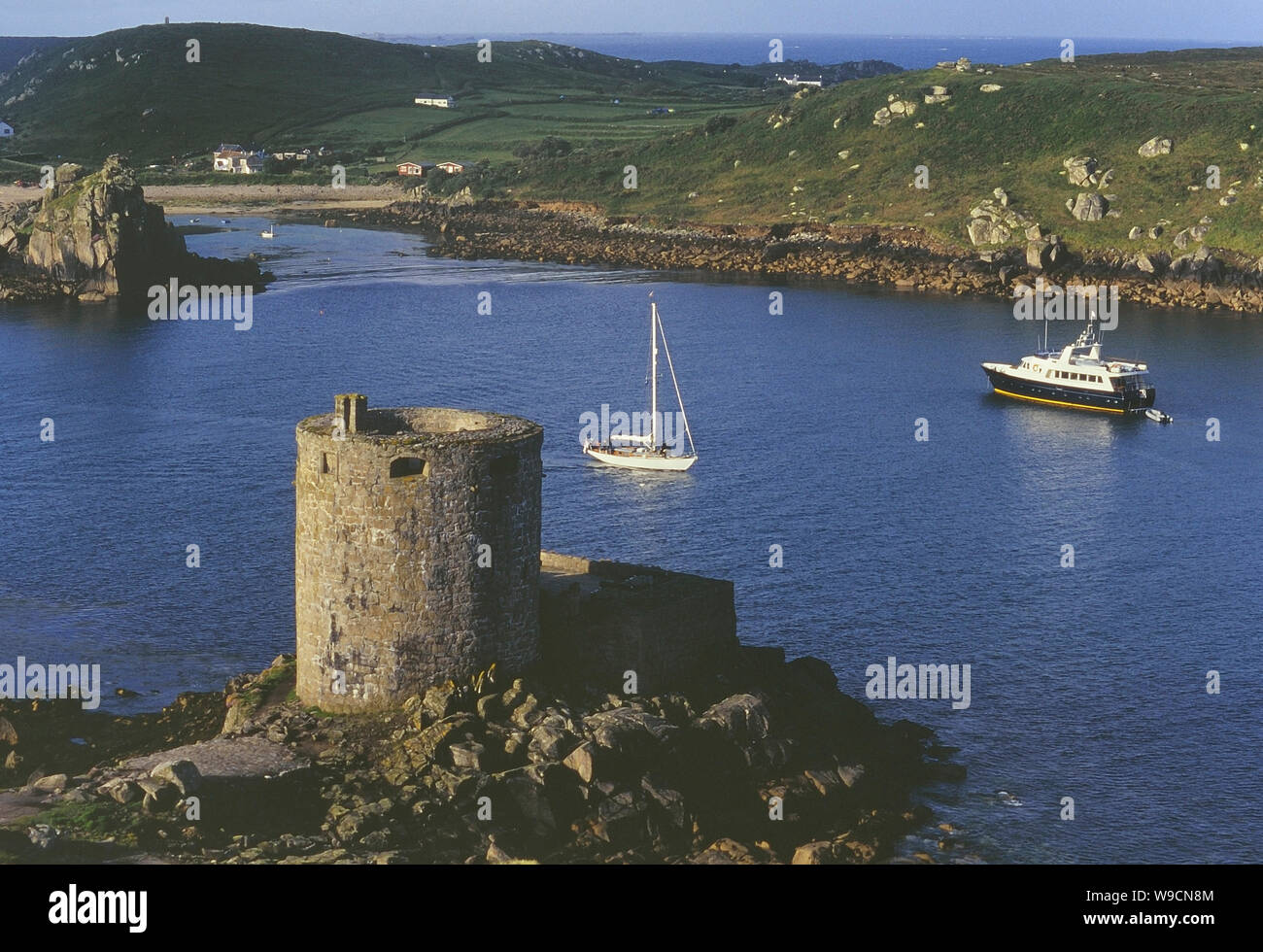 Cromwells Fort, Old Watch Tower (in ruins)Fortification · 227 yd
 Old Watch TowerRuins · 254 yd
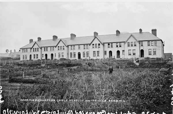 Anglo American Cable House, Telegraph FieldMonument · 400 yd
 Telegraph Field Valentia IslandMemorial · 459 yd
 Horse IslandIslet · 1203 yd
 Skellig Experience CentreMuseum · 1518 yd
 Long IslandIslet · 1733 yd
 Bray HeadMountain / peak · 1.4 mi
 Culloo RockViewpoint · 1.7 mi
 Tobairin Holy WellSpring · 2.2 mi
 Sean LochaCliff · 2.4 mi