What is recorded here
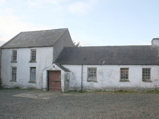
Detached two-bay two-storey with four-bay single-storey block to west gable house, built c. 1860, with projecting entrance porch to junction of the two blocks, no longer inhabited. Pitched slate roof, pitched roof to porch, concrete gable coping, clay ridge tiles to single-storey, chimneystack to single-storey gable, remnant cast-iron rainwater goods to rear elevation, remnant cast-iron fittings with replacement rainwater goods to remainder. Rubble stone walls, painted roughcast to two-storey front elevation, painted render to single-storey front elevation, render to remainder. Square-headed window openings with timber six-over-six horned sash windows over limestone sills. Square-headed door opening to porch, timber panelled replacement door. Set in own grounds with yard surrounding. Several outbuildings including four-bay single-storey to the north-west, with pitched corrugated-metal roof, limewashed rendered rubble stone walls; two-bay two-storey outbuilding to the south-west, pitched slate roof and rendered walls; single-bay single-storey outbuilding to south-west, corrugated-metal mono-pitched roof and limewashed rendered rubble stone walls.
An interesting vernacular house type which combines a single-storey block with a two-storey block. Although no longer in use it retains its architectural integrity and details, including its slate roof and horned sash windows as well as a collection of outbuildings.
This does not grant access. Most recorded buildings are privately owned; view them only from public ground unless the owner allows entry.
Places near here
 Fairy fort / stone ringfort in AddervilleFairy fort / stone ringfort · 601 yd
 Roosky Enclosure near ClonmanyEnclosure · 998 yd
 St. Mary’s Catholic Churchchurch/chapel · 1731 yd
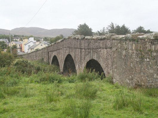 Clonmany Bridgebridge · 1.0 mi
 Glendowen craft shopHeritage attraction · 1.2 mi
 Clonmany Early Church GraveyardGraveyard · 1.2 mi
 Glenevin WaterfallWaterfall · 1.5 mi
 Glenevin Waterfall, Clonmanywaterfall · 1.5 mi
 Glenevin Waterfall WalkOfficial walking route · 1.6 mi
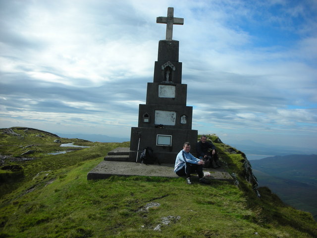 BulbinMountain / peak · 1.8 mi
 Raghtin MoreMountain / peak · 2.1 mi
 Gap of Mamore ViewpointViewpoint · 3.3 mi
Other information
Photo: National Inventory of Architectural Heritage · Website use allowed for educational or private purposes with source credit