What is recorded here
Indicated is a ruined stone ringfort in County Mayo, Ireland, where a collapsed wall still marks a subcircular boundary in good pasture. The stones lie low and the interior has become overgrown, but the shape remains large enough to suggest a occupied place rather than a random heap. It is the kind of forgotten strongholds that scatter the Irish countryside, half buried under grass and time.
In good pasture, enclosed by stone field fence. Subcircular area (58m N-S; 62m E-W), enclosed by collapsed stone wall (H 0.6m; Wth 2.2m) WNW to S. Interior heavily overgrown.
The above description has been derived from D. Lavelle (compiler), An Archaeological Survey of Ballinrobe and District including Lough Mask and Lough Carra. Lough Mask and Lough Carra Tourist Development Association (1994), No. 269.
Date of upload: 30 October 2013
The monument record does not grant public access. Check the route and ask the landowner before entering private land.
- What survives
- Recorded monument
Places near here
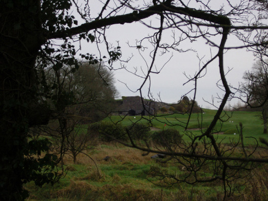 Cloonnagashel Housekiln · 414 yd
 SycamoreSycamore · 614 yd
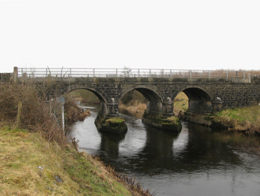 Foxhall Bridge or Foxhill Bridgebridge · 712 yd
 Cloonagashel CastleCastle · 851 yd
 Castle (in Ruins)Castle, tower house · 1558 yd
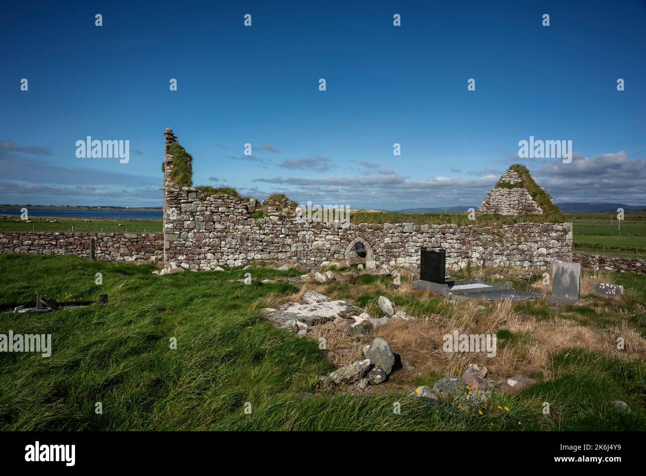 IndicatedEnclosure · 1714 yd
 Enclosure in ClooncormickEnclosure · 1.1 mi
 Dormbeg Island NorthIslet · 3.4 mi
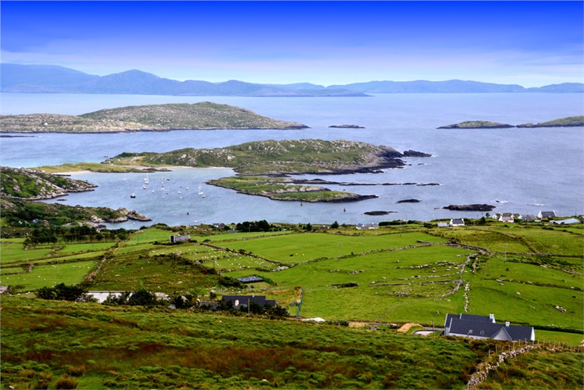 illanatrim islandIslet · 3.4 mi
 European ashEuropean ash · 3.8 mi
 Kiltoom PointHeadland · 4.7 mi
 LabbadermotCave · 5.3 mi