What is recorded here
Enclosure in Cloonfeaghra stands at the north edge of a hollow in County Clare, Ireland. A pond sits forty metres to the southeast, while faint traces still appear on modern satellite imagery even though ground remains vanished. The place has shifted from mapped rath to hidden memory, inviting wonder about what hands built it and what forgetting removed.
In a level area at the N edge of a hollow with a pond c. 40m to the SE. Hachured as a rath on the 1840 and 1920 OS 6-inch maps and on the 25-inch plan. On inspection in 1999 the area had been cleared and no remains were visible at ground level. Faint traces of an enclosure are visible on OSi MapGenie orthophotography (2013-2018).
Compiled by: Mary Tunney
Date of upload: 19 November 2025
The monument record does not grant public access. Check the route and ask the landowner before entering private land.
- What survives
- Recorded monument
Places near here
 RathcahaunFairy fort / earthen ringfort · 644 yd
 IndicatedFairy fort / stone ringfort · 793 yd
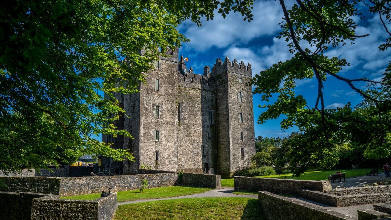 CastleCastle, unclassified · 1354 yd
 Kilkee Castle (Site of)Castle, unclassified · 1446 yd
 Battle of TullyodeaBattlefield · 1.1 mi
 Saint Mary's Catholic Churchchurch/chapel · 1.7 mi
 Church (in ruins)Church · 1.7 mi
 Ballygriffy WoodWood · 1.8 mi
 Dromore WoodWood · 2.7 mi
 Rock IslandIsland · 2.9 mi
 Inchiquin IslandIslet · 3.0 mi
 Burren National ParkVisitor information · 5.0 mi