What is recorded here
In rough pasture, located at the edge of an expanse of flat, lowlying boggy ground. A pool shown on the 1930 OS 6-inch map c. 30m to NE is now dry. Immediately to SW the ground rises slightly and becomes drier.
A low, roughly horseshoe-shaped mound (11m NW–SE; 10m NE–SW; H 0.3m) marked by a noticeably thicker growth of long grass and plantain. The arms of the mound enclose a central depression (4m NE–SW; c. 2m NW–SE), open to NE, which may indicate the position of a trough. The mound is composed of black peaty soil overlying a concentration of stones.
Compiled by: Jane O'Shaughnessy
Date of upload: 9 March 2023
The monument record does not grant public access. Check the route and ask the landowner before entering private land.
- What survives
- Recorded monument
Places near here
 IndicatedFairy fort / earthen ringfort · 911 yd
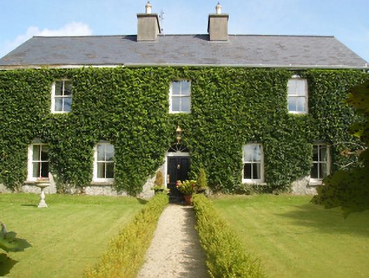 Gardenfield Housefarm house · 941 yd
 Castle (ruin)Castle, unclassified · 1578 yd
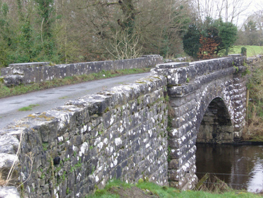 bridgebridge · 1.5 mi
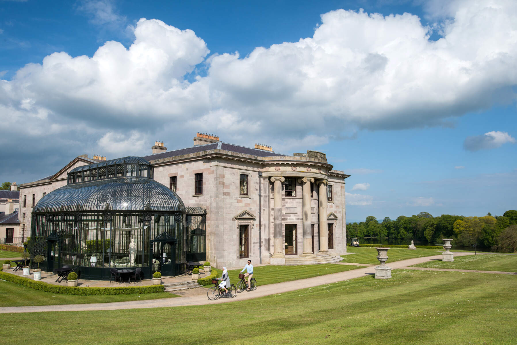 Enclosure in Lehinch DemesneEnclosure · 1.5 mi
 Ahena CastleCastle · 3.1 mi
 Geoffrey's WoodForest · 3.4 mi
 SycamoreSycamore · 3.9 mi
 Land of the GiantsHeritage attraction · 4.5 mi
 Mass RockNamed rock · 11 mi
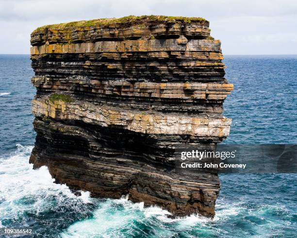 Long RockIslet · 11 mi
 Gibbs IslandsIslet · 12 mi