What is recorded here
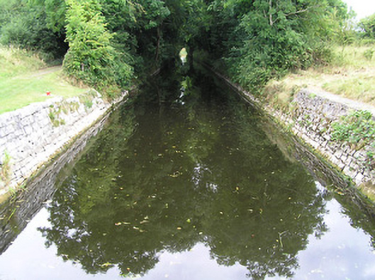
Section of canal, erected c. 1760, connecting River Shannon with the Camlin River. Canal is stone-lined with towpath to the north bank, now overgrown with vegetation in places. Associated canal lock (13307007) located the west end. Canal spanned by bridge (13307005) close to the centre of its c. 650 metre length. Runs west to east to the north of Cloondara.
Add the human story, a picture, a first-hand message or a missing place.
Earn 5 points after the picture is checked and accepted.
Add a pictureAdd its storyTalk or ask a questionAdd a new placeThis official record and map point do not grant access. Most recorded buildings are privately owned; view them only from public ground unless the owner allows entry.
Conversation about this place
Questions and messages sit beneath the source record. They are checked before appearing.
No questions or messages yet.
Ask a question or join the conversation