What is recorded here
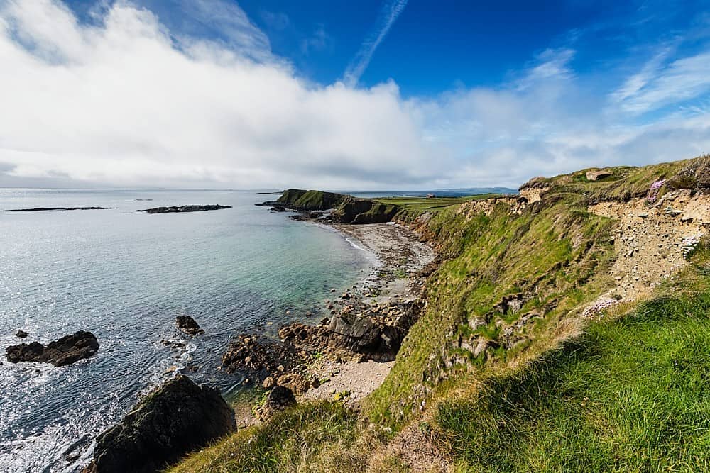
Indicated is a massive stone fish trap on the foreshore at Cloonconeen Point, its angular walls spanning nearly a hundred metres across sloping bedrock just east of Rinevella Bay. The structure probably remained active within the last fifty years, suggesting local people still read the tide and dropped nets into its chamber when the water retreated. Its sharp V-shaped corner and curved gap reveal practical design rather than decorative ambition, guiding fish into a narrow kill zone before releasing them back to the sea.
Built on sloping bedrock on the foreshore at Cloonconeen Point, just E of Rinevella Bay, 2.3km SW of Carrigaholt. A large subrectangular fish trap defined by a stone wall (c. 117m E-W; c. 92m N-S) built on natural bedrock extending eastwards into the bay (pers. comm. M. Gibbons, 30 November 2018). At E (the trap end) the wall extends N-S and veers back SW at the SE end. Midway along the relatively straight seaward side there is an outwardly curving semicircle (c. 17m N-S) with a gap in the middle. At the NE corner the wall extends out in a V shape. This is a post-medieval example and was probably in use within the last 50 years. This feature is visible on historical Google Earth aerial photographs taken on 22 April 2015 (accessed 3 December 2018).
Revised by: Mary Tunney
Date of revision: 5 June 2019
The monument record does not grant public access. Check the route and ask the landowner before entering private land.
- What survives
- Recorded monument
Places near here
 Cloonconeen PointHeadland · 152 yd
 Kilcredaun Head LighthouseLighthouse · 1264 yd
 Rinevella PointHeadland · 1281 yd
 Kilcredaun Lighthouselighthouse · 1292 yd
 Enclosure in CloonconeenEnclosure · 1.2 mi
 Carrigaholt CastleCastle, tower house · 1.5 mi
 Fairy fort / earthen ringfort in Cross (moyarta By.)Fairy fort / earthen ringfort · 1.6 mi
 CastleCastle, Anglo-Norman masonry castle · 3.4 mi
 Glasheen BeachBeach / strand · 3.8 mi
 Grave of the Yellow MenMemorial · 4.7 mi
 IllaunonearaunIslet · 4.7 mi
 Ocean Rowers MemorialMemorial · 4.7 mi