What is recorded here
Indicated is a broken fairy fort on a Mayo rise, its eastern edge torn open like a wound that never healed. The remaining bank circles thirty-eight metres of grass, high enough to mark a boundary but low enough for forgotten feet to cross without thought. The missing quadrant suggests hunger, theft or transformation rather than ordinary decay. What was taken from the earth may have gone somewhere else entirely, leaving behind a hollow shape that still points downward.
In pasture, located on a rise with good views over the surrounding rolling grassland. There is a gradual fall of ground to S and E.
Slightly raised circular area (diam. c. 38m) defined SE–N by remnants of an earthen bank (Wth 3.5-3.7m; int. H 0.2-0.4m; ext. H 1.1m at SE, 1.45m at W). The bank is evident mainly as a scarp with a low internal lip. The entire NE quadrant (17m N–S; 21.5m E–W) of the rath has been quarried out to a depth of c. 3m. A low field bank on a N–S axis abuts the bank at SW and its line is continued N through the W half of the interior as a post and wire fence. Grass cover.
Compiled by: Jane O’Shaughnessy
Date of upload: 18 April 2018
The monument record does not grant public access. Check the route and ask the landowner before entering private land.
- What survives
- Recorded monument
Places near here
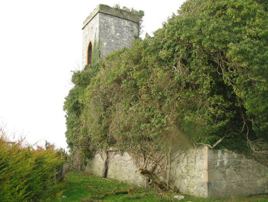 Castle Gorechurch/chapel · 481 yd
 Dermot & Graine's BedArchaeological place · 886 yd
 IndicatedEnclosure · 891 yd
 CastleCastle, tower house · 1119 yd
 Deel CastleCastle · 1127 yd
 Church (in Ruins)Church · 1459 yd
 Battle of Ballinabattle · 3.0 mi
 Roe IslandIslet · 3.3 mi
 Castle IslandIslet · 3.4 miHumbert MonumentMemorial · 3.5 mi
 Belleek WoodsWood · 4.3 mi
 FloretteWreck · 4.5 mi