What is recorded here
Thirteen rectangular cross-slabs emerged from the Clonenagh graveyard soil in 1988 when workers cut a pathway, revealing early Christian markers that had waited beneath the grass. They now stand upright against the inner east wall, their simple incised crosses and false relief patterns watching the gate like forgotten sentinels. Yet cut debris and vegetation still choke their bases, reducing ancient stone witnesses to half buried shapes in the dirt.
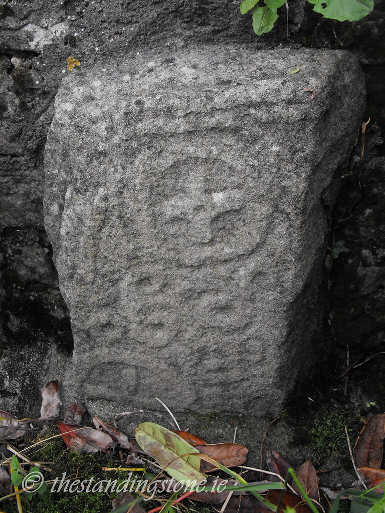
In an elevated area. In 1988 thirteen early Christian cross-slabs, rectangular in shape were uncovered during the digging of a pathway through the graveyard (LA017-003007-) at Clonenagh. Three are in false relief, the remainder are simple incised crosses. These cross-slabs have been attached to the inner E face of the graveyard wall in the W quadrant of the graveyard.
The slabs have been numbered one to thirteen by Manning in his article entitled 'Cross-Slabs from Clonenagh, Co. Laois' (1998, 185-192). The slabs are upright just inside the gateway to the graveyard. This area has been used as a dumping place for cut grass and other debris that has resulted in the base of the slabs being covered in soil and vegetation.
Slab no 13 consists of a 'tiny cross is set in the ground within the burial plot of the Finn family, near the north-west corner of the graveyard. It is a plain Latin cross with dressed back portions on each face at each side of the shaft' (Manning 1998, 189).
Compiled by: Caimin O'Brien
Date of upload: 17 December 2007
Dated to the early Christian period (6th–10th centuries AD), the cross-slab in Clonenagh likely served a commemorative or liturgical function, reflecting the spread of Christianity in Ireland. Such stones often bore symbolic Christian imagery and may have marked burial sites or waypoints along pilgrimage routes.
The monument record does not grant public access. Check the route and ask the landowner before entering private land.
- What survives
- Recorded monument
Places near here
 Church (in Ruins)Church · 110 yd
 CastleCastle, motte · 181 yd
 Ritual siteRitual site, holy tree/bush · 231 yd
 SycamoreSycamore · 231 yd
 Church in ClonenaghChurch · 238 yd
 Church (Site of)Church · 665 yd
 Castle in ruins, Red Castle FortCastle, unclassified · 1643 yd
 Sweet ChestnutSweet Chestnut · 4.1 mi
 BaunreaghcongMountain / peak · 6.2 mi
 Slieve Bloom MountainsMountain range · 8.5 mi
 ArderinMountain / peak · 9.8 mi
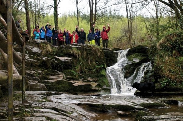 Slieve Bloom WayWalking route · 11 mi