What is recorded here
Modern stones mark the county boundary on Truskmore Mountain, yet the 1909 map already named that exact spot. People have long used visible markers when invisible lines confuse memory. The mountain still owns the truth, while human borders shift and fade beneath its skin.
Marked only on the 1909 ed. of the OS 6-inch map where it is described as a ‘Pile of Stones’ on the county boundary with Sligo. It is located at the NE edge of the plateau on the summit of Truskmore Mountain. This is a modern pile of stones and the same as (SL006-048----).
Compiled by: Paul Walsh
Date of upload: 5 June 2013
A portal dolmen; likely dating to the Neolithic or Early Bronze Age. Its location on a prominent mountain summit suggests ritual or territorial significance.
The monument record does not grant public access. Check the route and ask the landowner before entering private land.
- What survives
- Recorded monument
Places near here
 TruskmoreMountain / peak · 363 yd
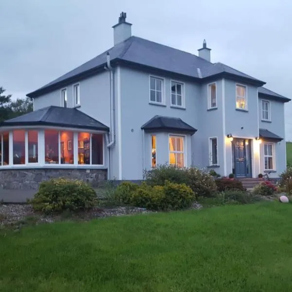 IndicatedEnclosure · 1654 yd
 Eagle's RockMountain / peak · 1669 yd
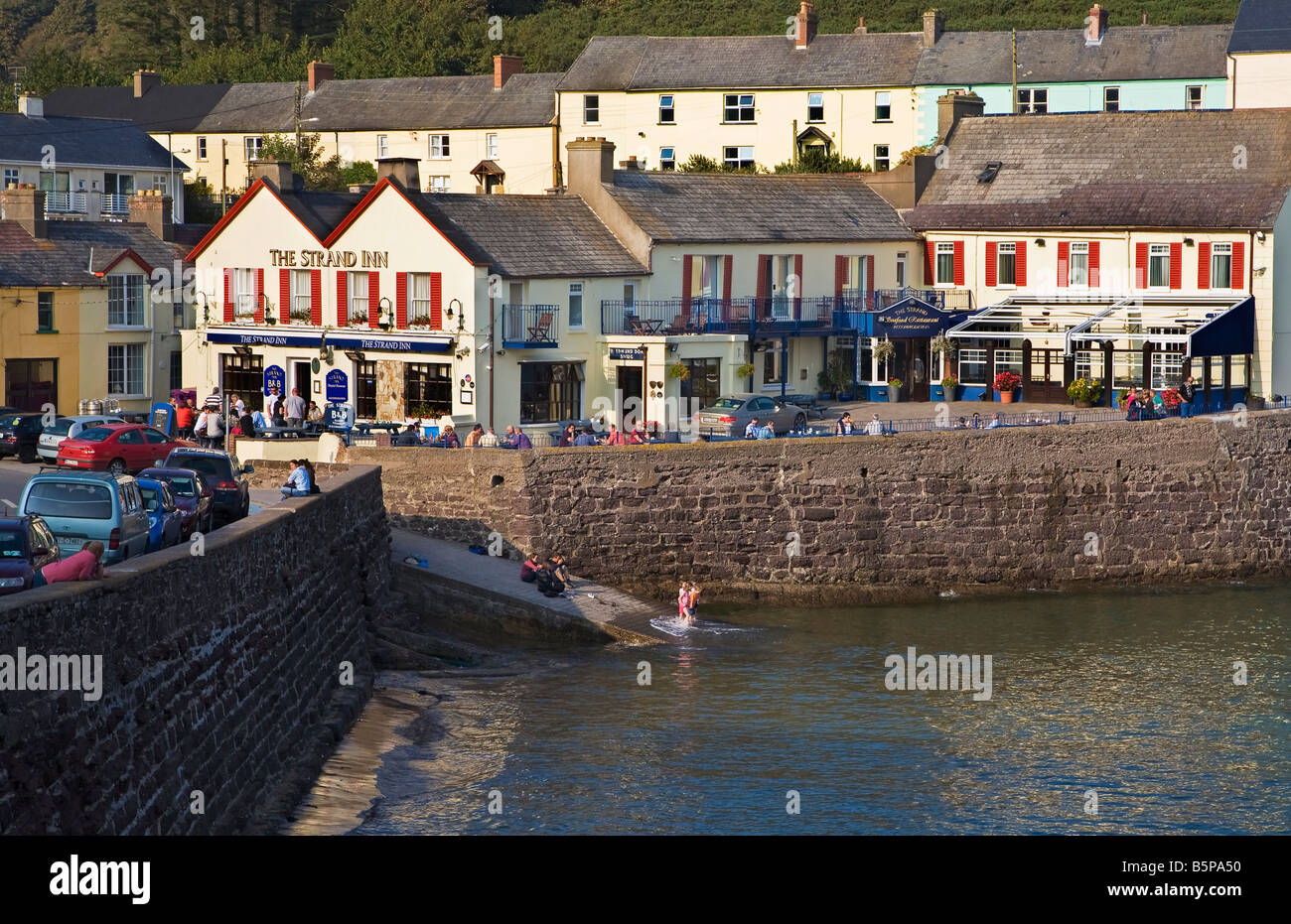 Dooneen EastMountain / peak · 1.1 mi
 Doneen WestCliff · 1.2 mi
 Memorial Francis FinnMemorial · 1.5 mi
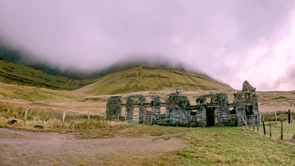 Gleniff School RuinsRuins · 2.0 mi
 Baryte MillRuins · 2.1 mi
 Cormac Reagh's HoleCave · 2.2 mi
 Glencar Lough ViewpointViewpoint · 2.3 mi
 Dermot & Grania's BedCave · 2.3 mi
 Gleniff Horseshoe DriveViewpoint · 2.4 mi