What is recorded here
No visible walls remain at the ENE sector of the promontory fort, but a shallow circular depression marks where a small dwelling may have stood. The lost building probably faced east, opening onto the Atlantic light and catching the first warmth of each day. Whoever lived there chose a narrow strip of land between stone and sea, relying on the fort for protection and the horizon for company.
According to Toal (1995, 79, no. 111) in the 'ENE sector' of the promontory fort (KE009-024001-) is a 'sub-circular area 6.8m in diameter, with a 3.2m opening to the E.' This may be the remains of a possible hut site.
Compiled by: Elizabeth Byrne
Date of upload: 20 August 2013
The monument record does not grant public access. Check the route and ask the landowner before entering private land.
- What survives
- Recorded monument
Places near here
 CastleCastle, tower house · 26 yd
 MineMine, lead · 1554 yd
 Pierce's IslandIslet · 1748 yd
 Clashmealcon CavesCave · 1.0 mi
 Man-made underground passage in Ardagh (clanmaurice By.)Man-made underground passage · 1.4 mi
 LismoyleArchaeological place · 1.5 mi
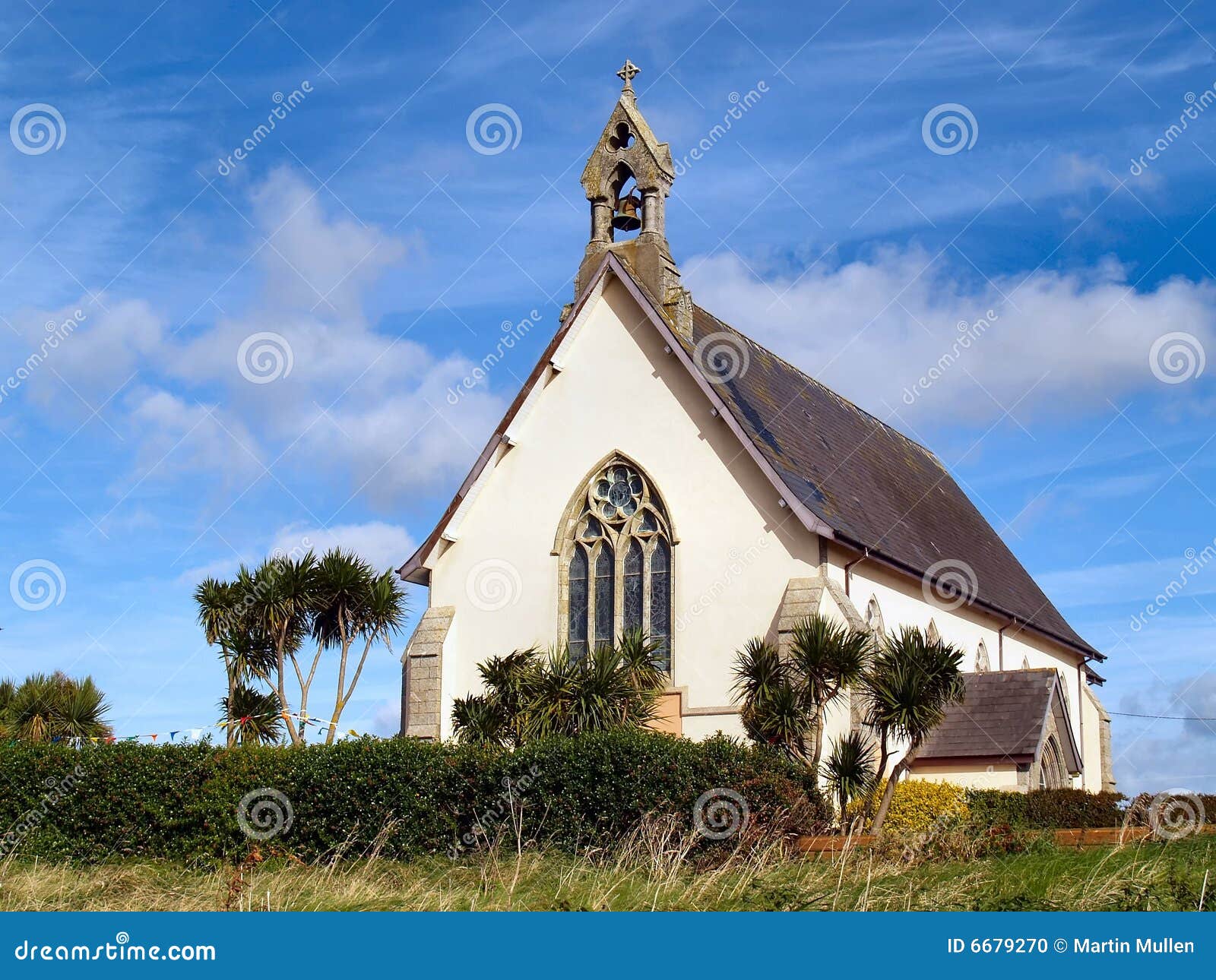 Church in Kilmore (clanmaurice By.)Church · 2.0 mi
 Inshaboy PointHeadland · 2.7 mi
 Long StrandBeach / strand · 3.2 mi
 Castle Shannon (in ruins)Castle, unclassified · 3.2 mi
 PulleenIslet · 3.8 mi
 Men's BeachBeach / strand · 4.0 mi