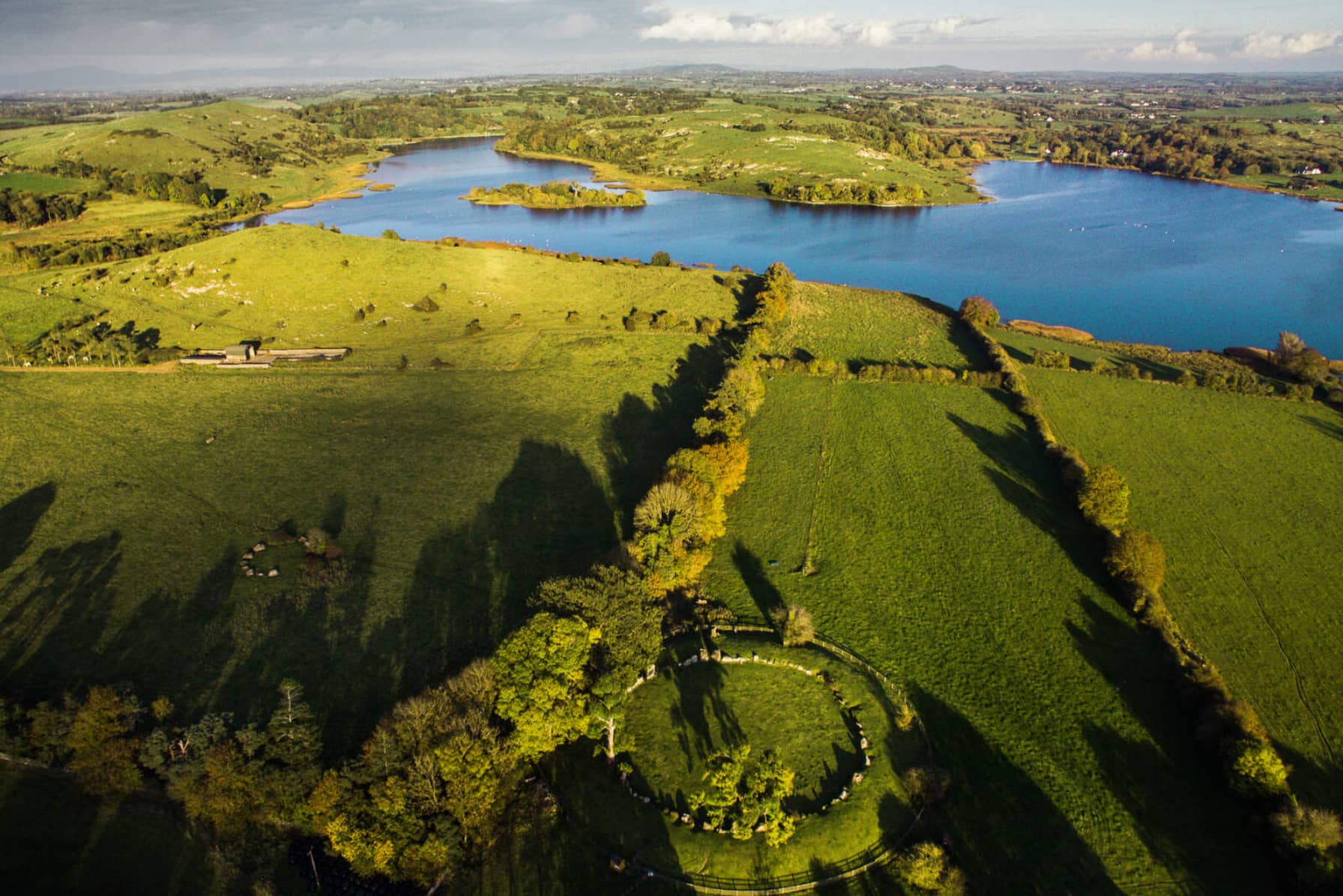
What is recorded here
In rocky area known as Back Hill, 365m WSW of spot height on Knockadoon (446ft/136m OD), which overlooks Lough Gur and Garret Island to W. Surrounded by a rich complex of prehistoric monuments including a cist (LI032-313----) which lies to the immediate NE and an enclosure (LI032-022020-), a standing stone (LI032-022021-), prehistoric house sites (LI032-022006/009/010-/012-/013/014/015/016/019) and Seeaghanmnatee (LI032-022002-) all in close vicinity. Not depicted on OSi historic maps. Monument identified by the Archaeological Survey of Ireland as a cist from a site inspection carried out by Matt Kelleher in December 2005. Monument is not clearly visible on OSi orthoimage taken 2005-2012, or on Digital Globe orthophoto or on Google Earth orthoimage 28/06/2018.
See attached Google Earth orthoimage.
Compiled by: Alison McQueen and Vera Rahilly
Date of upload: 29 November 2020
Cist in Loughgur is a Neolithic burial monument, dating to approximately 4000–2500 BCE. It is significant as part of a broader prehistoric landscape featuring multiple monuments, indicating long-term ritual and funerary activity in the Lough Gur area.
The monument record does not grant public access. Check the route and ask the landowner before entering private land.
- What survives
- Recorded monument
Places near here
 Lough Gur Neolithic settlementArchaeological place · 100 yd
 Stone CircleEnclosure · 157 yd
 RoadRoad, road/trackway · 405 yd
 Black Castle (in ruins)Castle, tower house · 406 yd
 Garret IslandCastle, unclassified · 413 yd
 Pedunculate OakPedunculate Oak · 543 yd
 Loughgur Farmhouse · 572 yd
 Lough Gur Heritage CentreVisitor information · 844 yd
 The SpectaclesVisitor information · 885 yd
 Grange Stone CircleArchaeological place · 1172 yd
 Lough GurVisitor information · 1231 yd
 Glen BogForest · 2.0 mi
Other information
Photo: Credit not shown in the picture search · Rights wording not checked; contact us if this picture should be removed