What is recorded here
Seven cists, one ring ditch and a stone alignment mark the Demesne in County Antrim. Bronze Age hands arranged the stones while people watched the sky or remembered the dead. The land has kept that shape through centuries of rain, grass and forgotten feet.
The official Northern Ireland record identifies this as CIST BURIALS (7) 1 WITH RING DITCH; STONE ALIGNMENT. Recorded period: PREHISTORIC; BRONZE AGE. Recorded protection: Scheduled. The official map point was placed at the centre of the recorded archaeological site from the source map reference.
Cist burials with a ring ditch and stone alignment, dating to the Prehistoric and Bronze Age periods. These features are significant as they reflect early burial practices and ritual landscape use in the region.
The monument record does not grant public access. Check the route and ask the landowner before entering private land.
- What survives
- Recorded monument
Places near here
 Boat HouseBoat House · 101 yd
 Boathouse Visitor Centre & MuseumMuseum · 103 yd
 Kelp HouseRuins · 341 yd
 A.P. SITE: ENCLOSURE in CraigmacaganA.P. SITE: ENCLOSURE · 585 yd
 Enclosure in CraigmacaganEnclosure · 926 yd
 Brackens CaveCave · 1133 yd
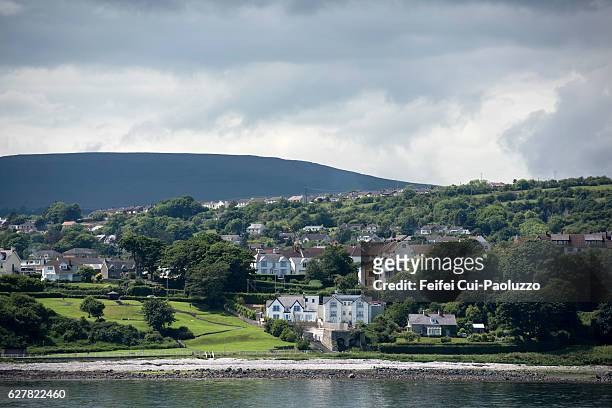 CarrickagileHeadland · 1156 yd
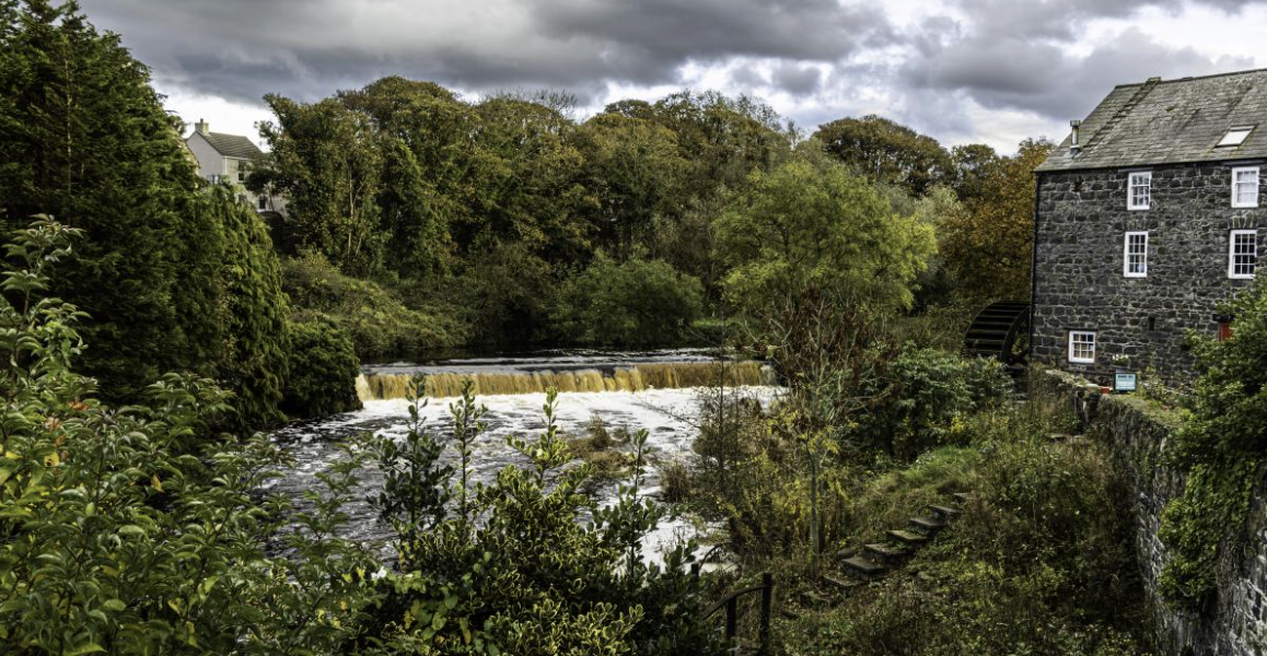 RuenascarriveHeadland · 1390 yd
 Ballycarry Trail, RathlinWalking route · 1512 yd
 Rathlin CastleRuins · 1709 yd
 FORTIFICATION: BRUCE'S CASTLE in BallycarryFORTIFICATION: BRUCE'S CASTLE · 1714 yd
 Rathlin IslandIsland · 1.5 mi