What is recorded here
Indicated is a small D-shaped stone enclosure in rough pasture at the base of a steep slope overlooking Lough Mask in County Mayo. It appeared on both the 1838 and 1920 maps, suggesting it was still recognizable decades after nearby life changed. The wall is low and broken enough that cattle may have used it, yet its shape and position keep it separate from ordinary farm boundaries. It is the kind of place where human intent survives without explanation, marking a lost settlement through a few careful stones.
In rough, bracken-covered pasture, located at the base of a steep N-facing slope overlooking Lough Mask. Indicated on the 1838 and the 1920 editions of the OS 6-inch map. This enclosure consists of a D-shaped area (int. 13m E-W; 8m N-S) defined by a drystone wall (Wth 0.4m; H 0.6-1.1m). A field inspection determined that it is most likely to be an enclosure for farm stock associated with a 19th-century settlement.
Compiled by: Jane O'Shaughnessy
Date of upload: 14 July 2015
The monument record does not grant public access. Check the route and ask the landowner before entering private land.
- What survives
- Recorded monument
Places near here
 Wild Duck IslandIslet · 795 yd
 Round IslandIslet · 1163 yd
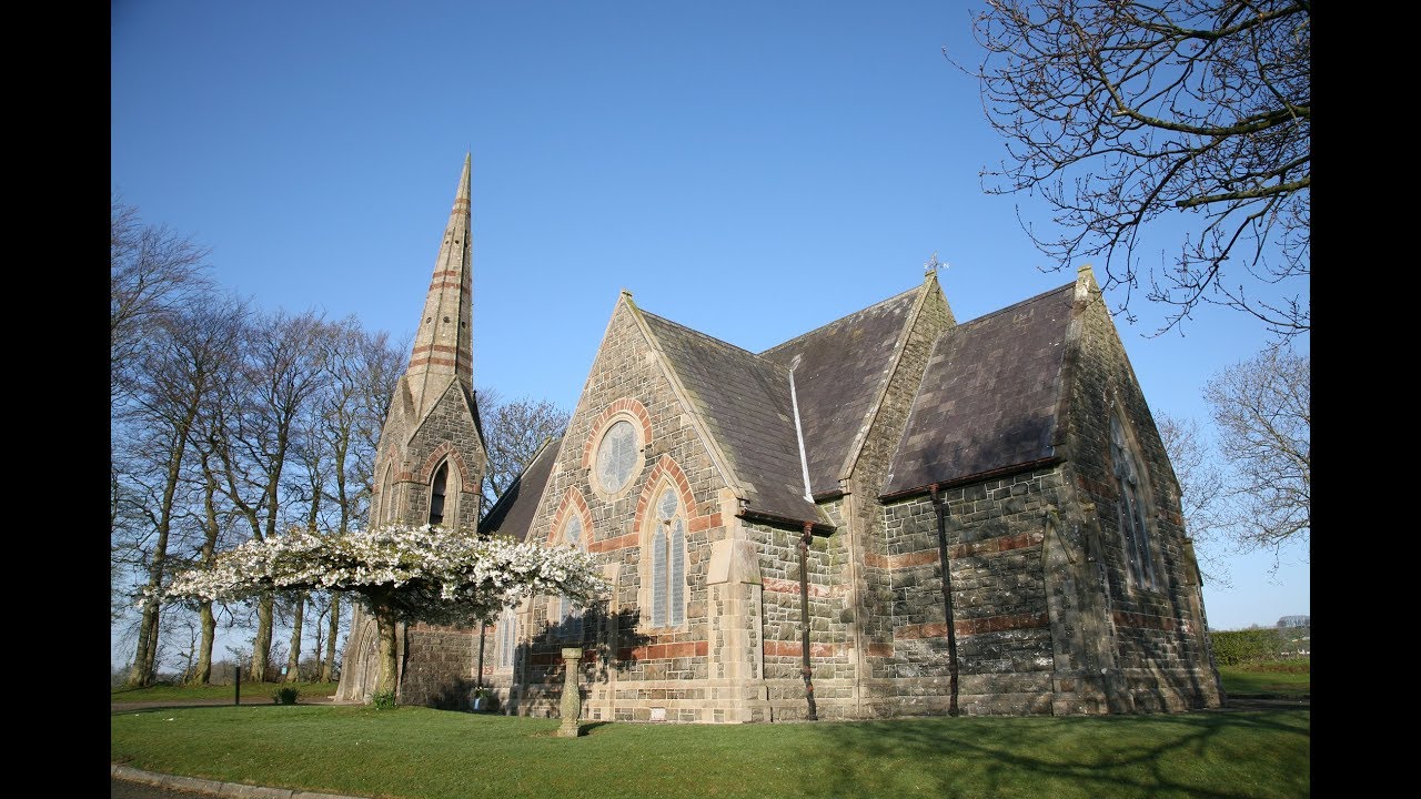 Kilbride Church (Site of)Church · 1168 yd
 TobermurryHoly well · 1265 yd
 Doon RockNamed rock · 1.1 mi
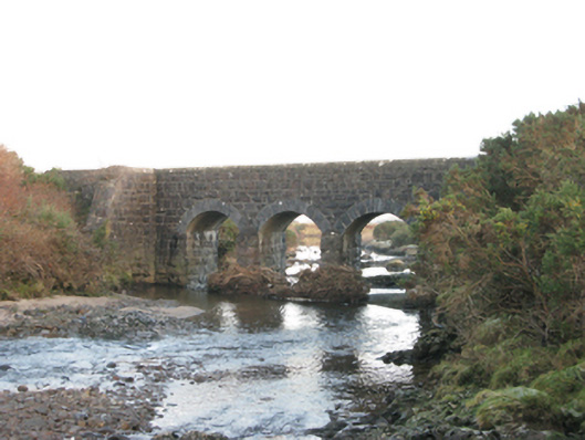 bridgebridge · 1.1 mi
 Runnet HillMountain / peak · 2.5 mi
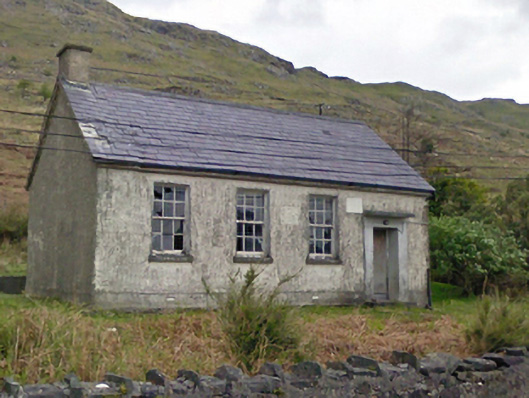 Finny National Schoolschool · 2.5 mi
 Ballindeonagh Castle (in ruins)Castle, unclassified · 2.9 mi
 Binn ShléibheMountain / peak · 3.8 mi
 Coill na FaircheWood · 4.2 mi
 CarrigeenbaunNamed rock · 4.2 mi